
Why are lakes named either Name Lake or Lake Name? Somehow other bodies of water have this figured out. There’s no Ocean Pacific, River Amazon, Creek Griffin… and so on. I guess there is the River Thames. But still. Things to ponder while hiking. And as a stickler for consistency, I wish lakes could get their consistency act together.
It was Karann’s turn to pick a hike. Annette Lake. Not Lake Annette. And what a perfect hike. It’s eight miles roundtrip, almost exactly according to my Fitbit GPS. I say almost exactly because we nosed around the lake a bit, adding a few tenths of a mile.
We met in North Bend again to ditch my car. And bonus, I grabbed a donut at Safeway. I didn’t know I wanted a donut until I saw them while looking for the restroom in Safeway. Karann used the facilities while I bought a donut and woman asked Karann, “Where are you going?” Karann answered, “Hiking.” And the lady replied, “I know, where?” Haha. Hikers must frequent Safeway restrooms before hitting the trails in the Mt. Baker-Snoqualmie National Forest.
The parking lot was easy peasy to find. It’s pretty much right off the freeway. Exit, turn right, turn left, 0.3 miles, and park. And there were several places to park at 9am. I always worry about parking, starting late—in my book—on a weekend. The couple who parked next to us were committed to hiking. They had rented a Zipcar. I love living amongst active people.
We parked and hit the trail right away. The trail starts right off the parking lot and goes for about a quarter mile until it hits Iron Horse Trail. I know nothing about Iron Horse Trail other than figuring out it’s a popular mountain biking trail. There were hoards of mountain bikers on there as we crossed over to continue on the Annette Lake trail. Maybe not hoards but several. And some going super fast. It looked fun. But not my thing.
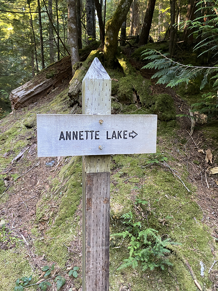
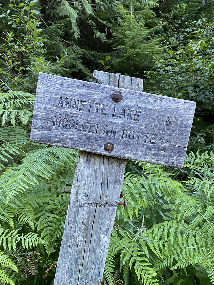
The quintessential trail sign photos. At the start and off of Iron Horse Trail.
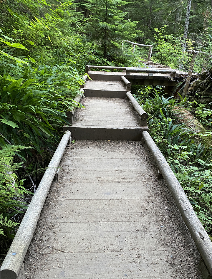
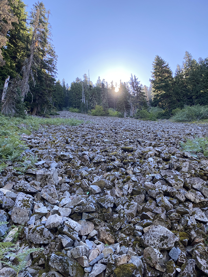
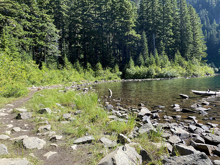
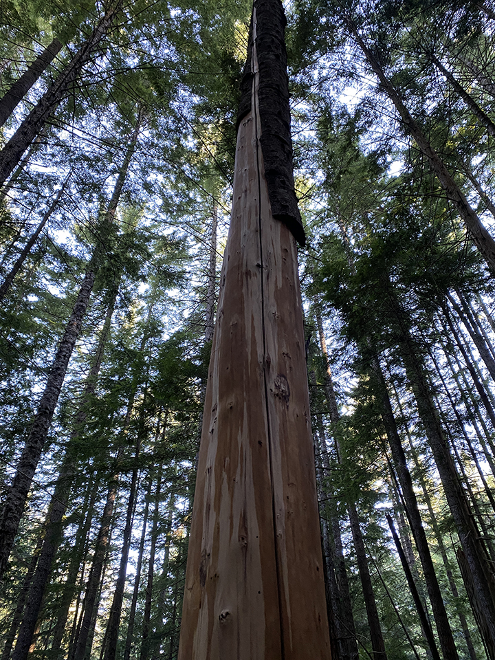
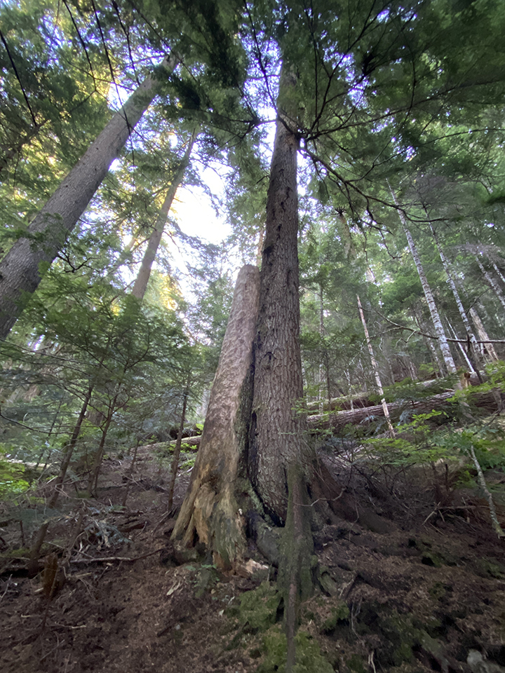
The trail is fabulous. It’s very well-maintained and there is variety. You walk over tree roots, rocks, water, bridges, boardwalks, a super cool downed tree that has steps made on top, and last but not least, plain old dirt. And there is plenty of variety to look at along the way… boulders, tall trees, short trees, downed trees, woodpecker attacked trees, Humpback Mountain views, rocky hillsides, a couple waterfalls, shrubs galore, and a super cute chipmunk. Like most hikes around here. Hiking Bingo. There’s the ticket. Put all the different hiking elements on a massive bingo card. I think Annette Lake is a blackout contender.
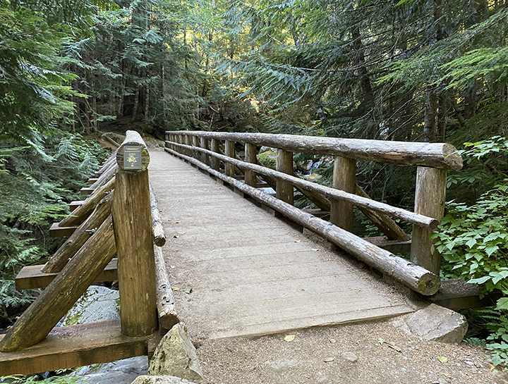
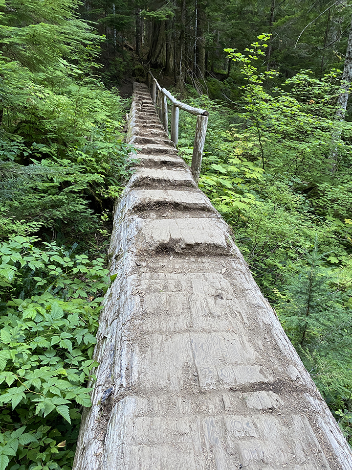
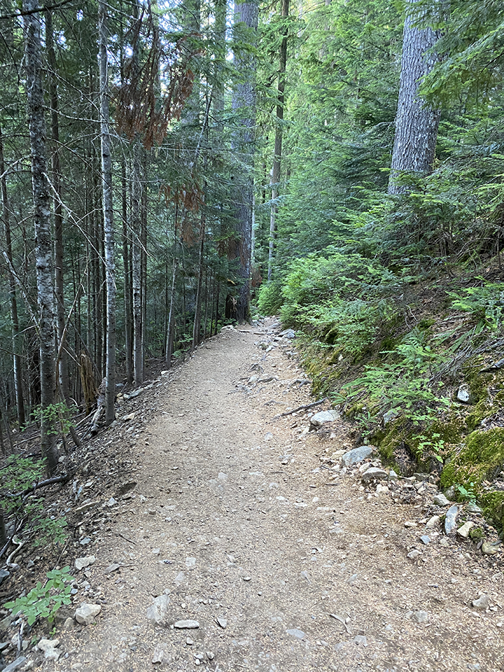
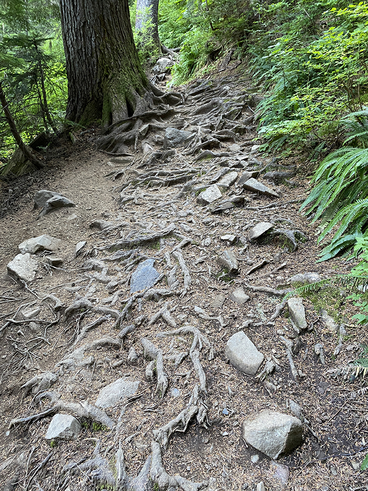
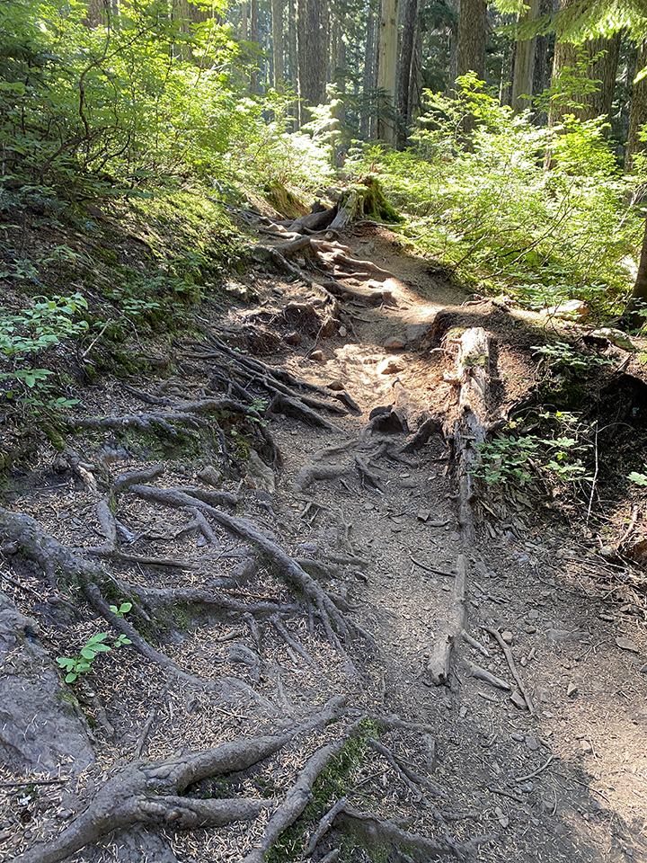
Trail elements.
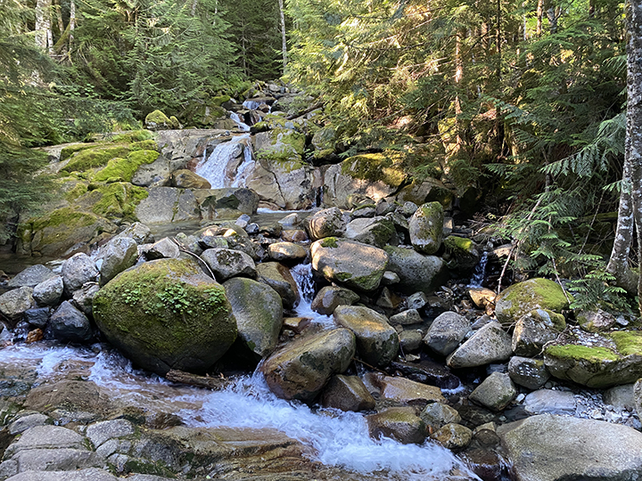
There is a beautiful waterfall near the start of the hike. It’s water that trickles down from Annette Lake.
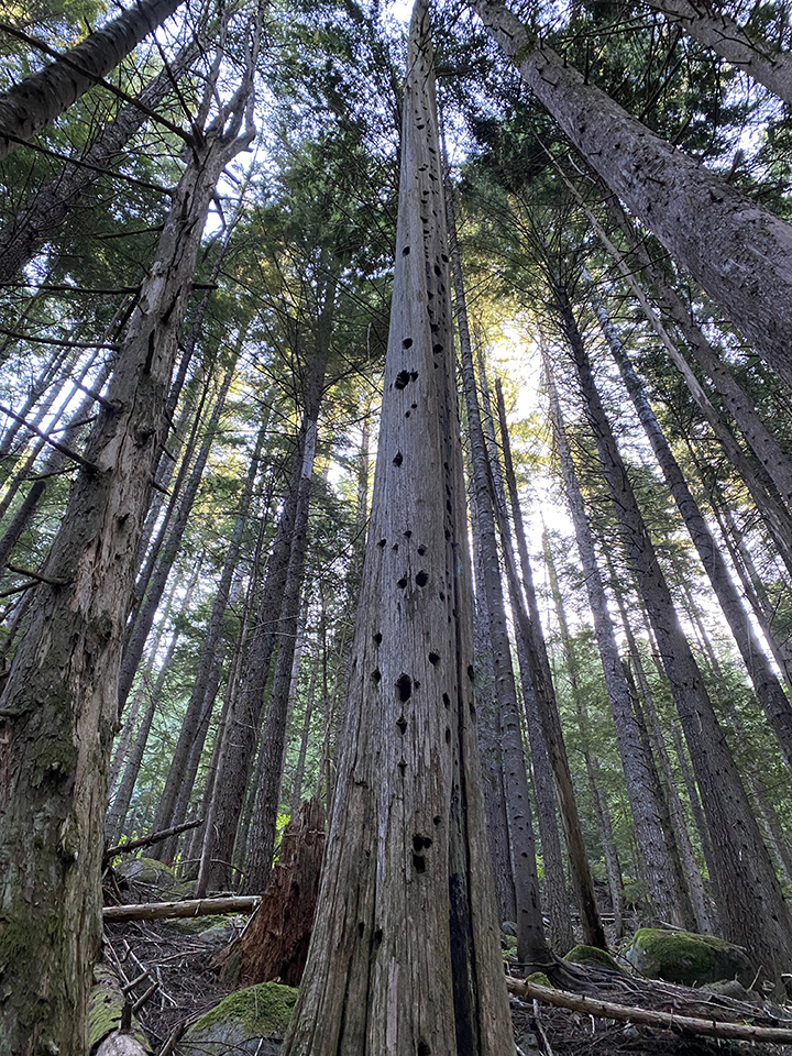
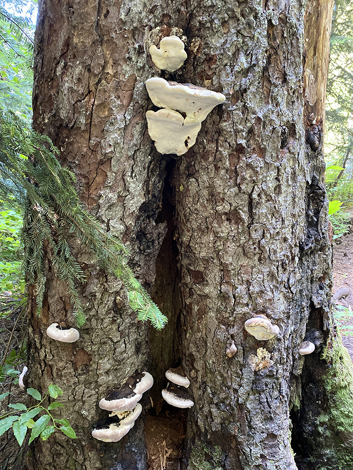
Woodpecker evidence.
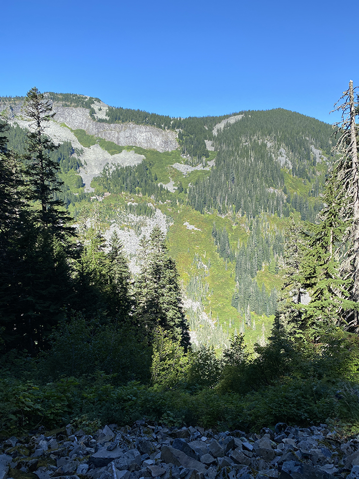
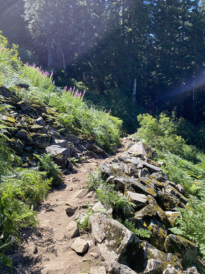
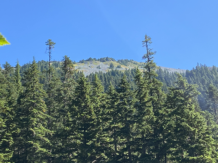
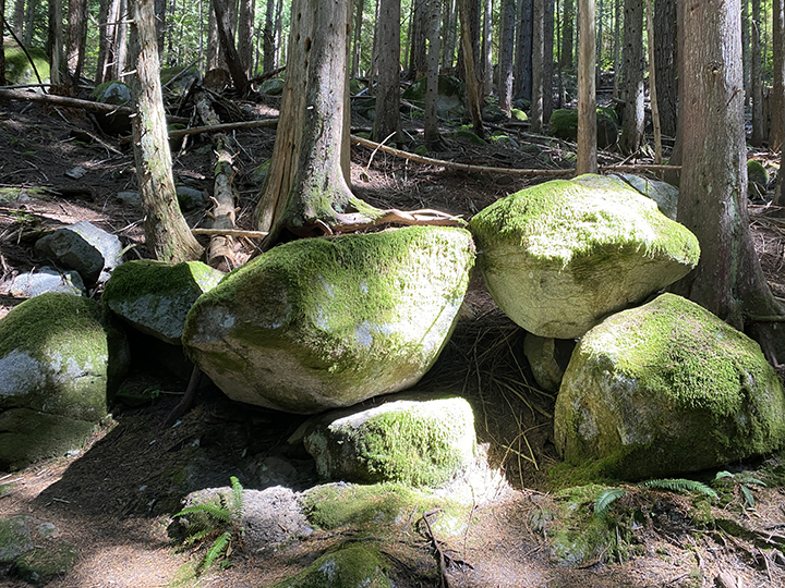
Humpback Mountain views. And a rocky hillside. It’s cool how moss is growing on all the rocks.
The trail up is a gradual incline. It’s a workout without realizing it’s a workout. Which is always a bonus of (most) hikes. I liked how the trail played out. It’s gradually up-up-up until a bit before the lake. Maybe about a half-mile? I wouldn’t place money on that guess. Then it goes down and levels off before Annette Lake makes an appearance. And while going down and leveling out, the trail is surrounded by forest making it feel like you are a part of the area instead of just walking along the mountain side. I find this makes a difference in ambiance. At least for me.
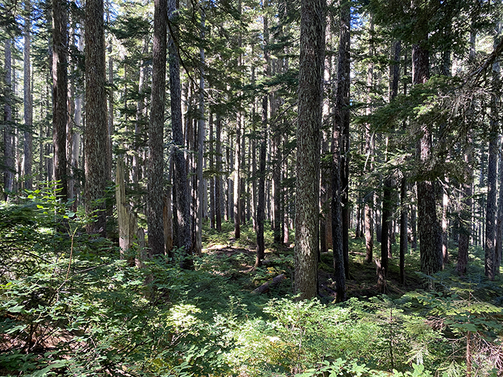
Ambiance.
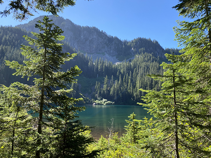
Annette Lake peeking through the trees.
Annette Lake is beautiful. So blue and crystal clear, and the views of the mountains surrounding the lake. Gorgeous. We were hopeful we would be able to walk around the lake like we did at Lake 22. That was a nope. We nosed around a bit along the lake, getting a lay of the land. We managed to walk through someone’s campsite, a couple of dads and their kiddos. Looked like a guys weekend, with kids. Apparently you can hike up and camp. Which is super cool. And super not my thing. But I like the idea.
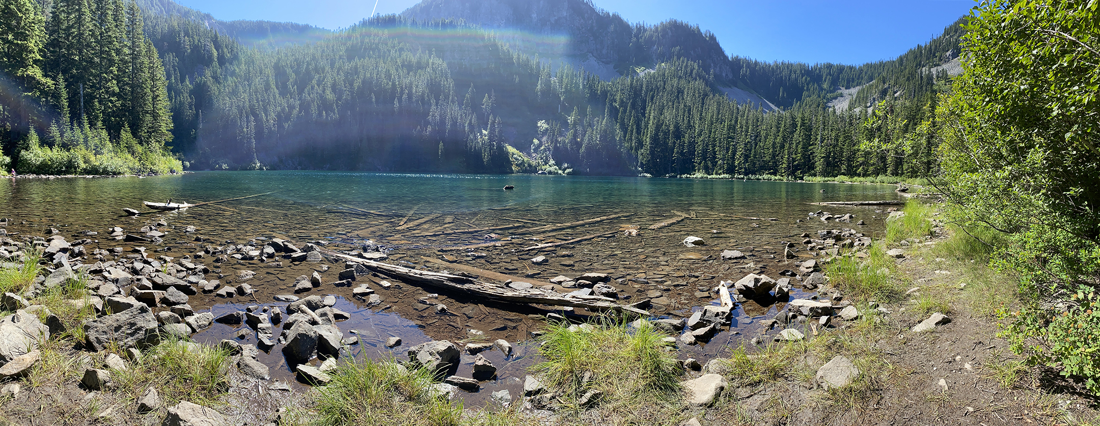
My attempt at a panoramic picture. Complete with sun interference.
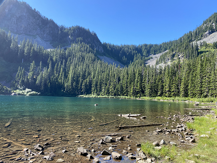
Admiring Annette Lake.
We parked on a log and enjoyed the views for aver 45 minutes. Those views included the two camping dads going for a swim. They were the entertainment for all of us hikers sitting along the lake. It wasn’t a hot day and the water looked cold. If it was, those dads were committed and went for a swim across the lake, stopping along the way at different logs protruding out of the water. They’d stop and chat, and we had the pleasure of hearing them. They either knew and didn’t care or had no idea that their voices carried across the water. They kept swimming and we moved on from them being our entertainment.
I was admiring the top of a mountain to the left of the lake from where we were sitting. Looks like it may be Silver Peak based on the map? It has a ton of rocks on top. Not boulders but rocks, like they have been crumbled. Which makes me wonder how this happens. When crumbled rocks are down a mountain, I never question how. (Side note: I believe it’s called talus. I learned this after I hiked Talus Loop.) It kind of makes sense something happened to crumble them and then they slide down. Which I could be totally wrong, highly likely. But on the top of a mountain peak? Mountains are just big rocks though, right? So maybe they were beat up while they were being formed? By volcanic activity? I’d love to learn more about geology. Perhaps a book on Amazon so I don’t continue to sound completely ignorant. Igneous ignorant. Haha.
Maybe Silver Peak?
We were entertained by the swimming dads, admired the rocky mountain top, took in the water views, snacked, chatted with a bird in the brush behind us, and watched a dragonfly hover over the water in front of us. I’m sure I’m missing other verbs. Here’s a verb: descended. We descended back down the Annette Lake trail, adding another four miles on my Fitbit.
Going down is always quicker than going up. I’m not sure why this is… it’s the same for road trips. There must be psychological explanation for this feeling. We passed several hikers making their way up. Almost everyone was wearing some sort of face covering. I particularly liked the guy who had nothing official and used his hat brim as a mask. That’s problem solving in a pinch. Haha. Eh, I’m pro-mask and totally support wearing them indoors and where you can’t social distance. But outdoors—on a hike where you pass others fairly quickly and even move off the trail as they pass—it almost seems more like a social norm than actually needed. Then again, I’m no infectious disease expert. Or geologist. Clearly. I play the game though, pulling up my neck gaiter as we approach and pass others.
It was about an hour and half when we made it back to the parking lot. We stop less going down than we do going up. Sometimes with Karann, I feel like a curious kid. Check out this mushroom! What is this flower? Berries! Edible? Did you see that tree that fell on the other? Let’s check it out and retrace its fall. Evidence of woodpeckers. Let’s look for one! Everything is super cool. I’m bummed because I forgot my field guides. After our last hike I bought trees and shrubs, and wildflowers field guides. Next time.
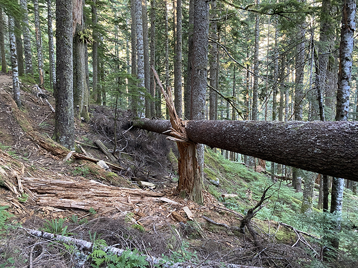
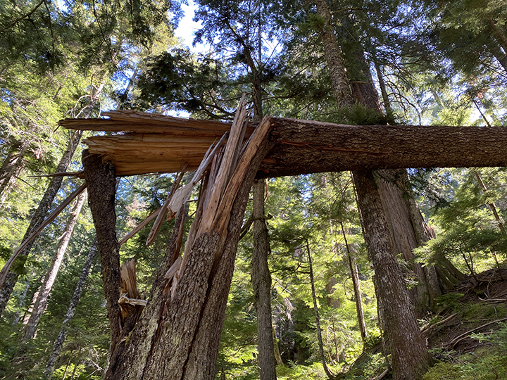
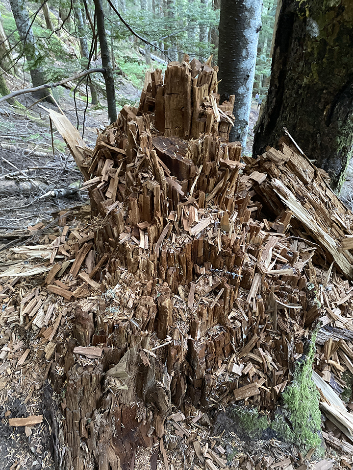
Tree curiosity: A tree losing it’s bark in an odd way. Two trees hugging. One dead. Downed trees that crushed their respective stump. And a stump that has been attacked by something to make that made it all shredded.
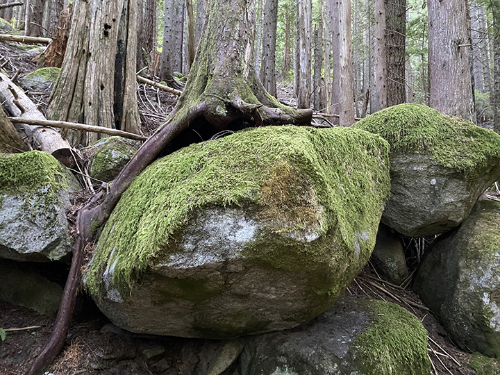
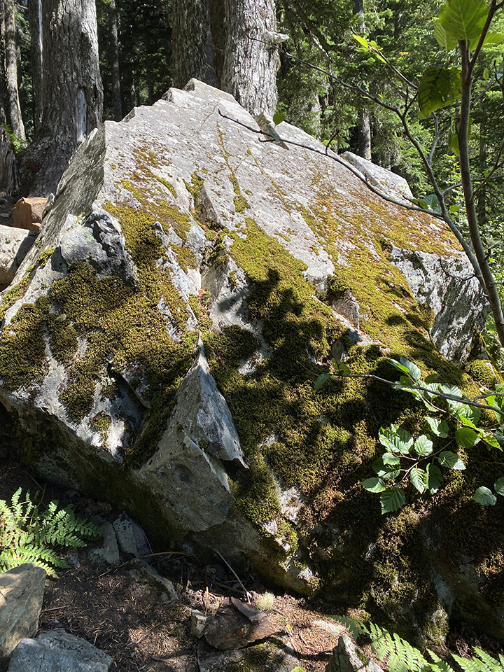
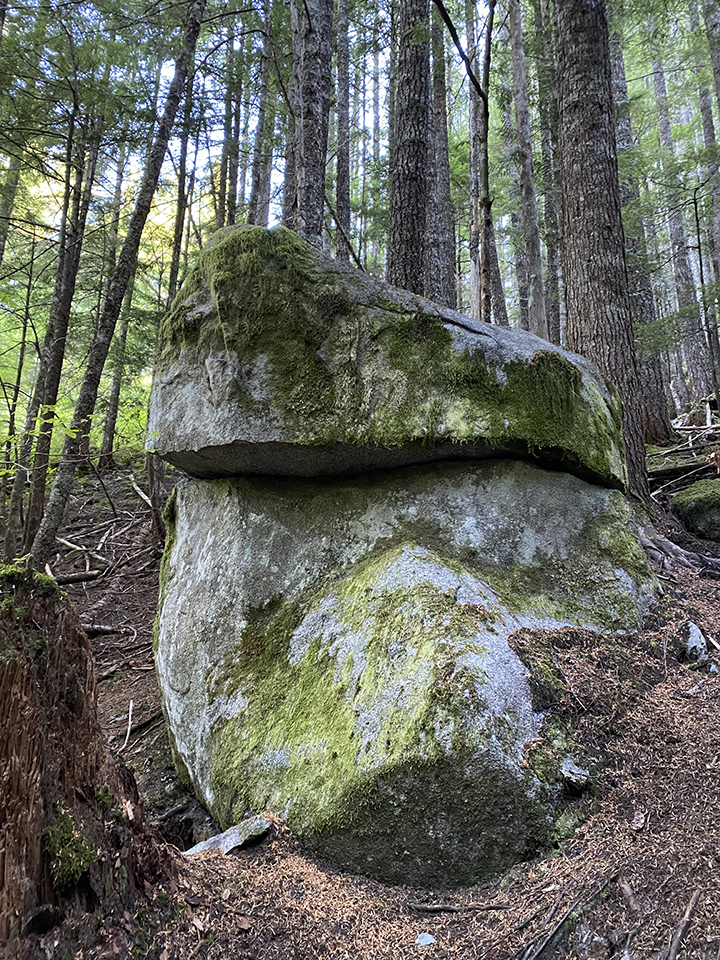
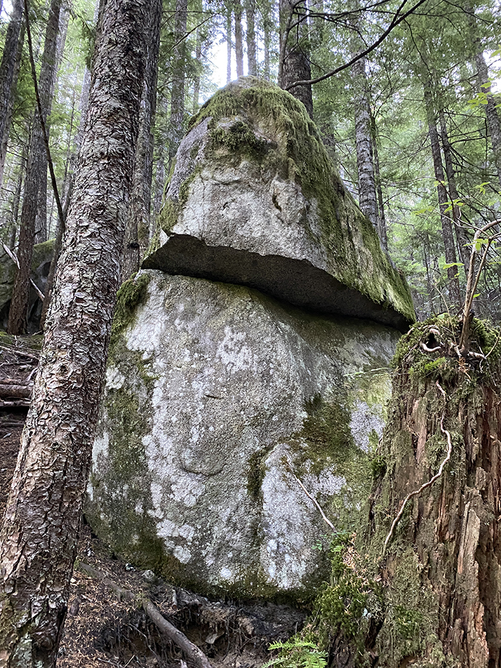
Rock curiosity: Boulders with trees growing on them. A flat edge boulder, which is hard to tell in a picture. And a rock that somehow spilt and rotated a bit, I think. It’s funny, I thought Easter Island, Karann said Easter Island, and Blaise said Easter Island when I showed him the pictures.
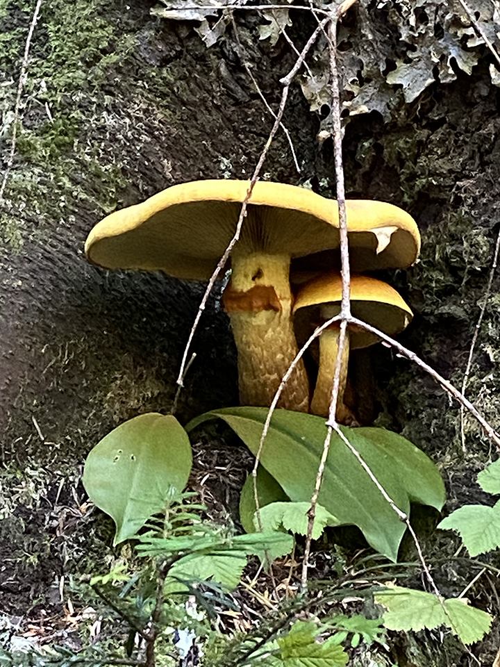
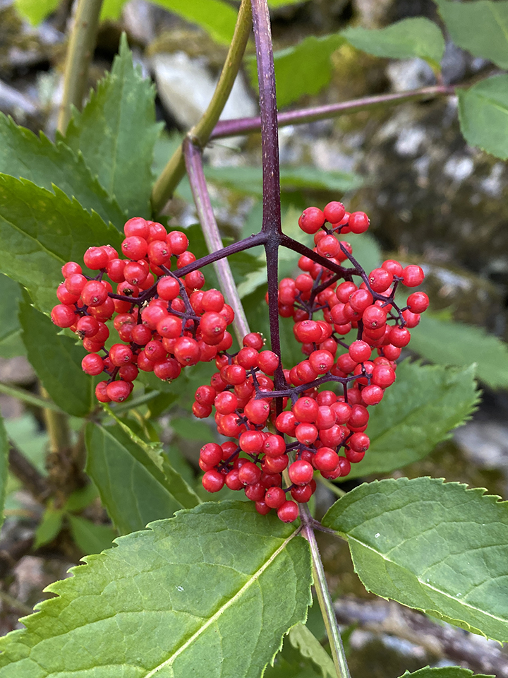
Mushrooms and berries (or are they flower things?) curiosity. I really need to take my field guide to learn terminology. Unless flower things is legit.
The parking lot had several open spots on our way out. Hikers must come and go in waves that I’m not fully aware of quite yet. It’s like Target. I can tell you which group of people will be shopping when, depending on the time of day. At least before everything Covid. Now it’s a free-for-all. Probably the same for hiking trails these days. Not worth trying to figure it all out.
Before we left, we decided to walk around the Asahel Curtis Nature Trail. It’s a short trail next to the Annette Lake trailhead. And it’s perfect for kiddos! I’m taking my crew back later this month. Such a cool area. HUGE trees among other super cool forest things. I refrained from taking pictures because I want to see it again through the kiddos’ eyes.
Karann and I have four more hikes on the books between September and October, and I have weekly hikes on the books with the kiddos. Annnd, I have a few other hikes with others. I think it’s fair to say hiking has become a thing of mine.
