
Cedar Butte was an accident. Maybe not an accident. Unintentional, unintended? Better words. Although I like how when I Google the definition of accident, the second meaning—an event that happens by chance or that is without apparent or deliberate cause—has this as an example: the pregnancy was an accident. Been there, haha.
The plan Sunday was to meet Karann at Safeway like usual. Except later than usual, at 1pm. Saige and Baby had skiing lessons Sunday morning. Brian would have had to take the accident Maive up to the snow with them if I were out hiking. He’s taken her before and it’s easier if she doesn’t go. Toddlers. (For the record, while it was an accidental pregnancy, Maive is very much wanted! I call her our bonus baby.) Meeting Karann later worked well for her also. She prefers later. And while I’ve always been a morning person—the earlier the better—as I get older, I’m appreciating later starts to outings.
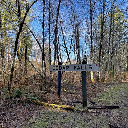
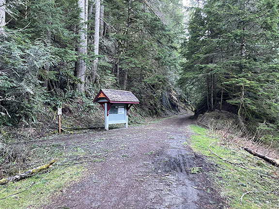
On tap for Sunday was Iron Horse Trail. John Wayne Pioneer Trail. Palouse to Cascade State Park Trail. I have no idea what it’s officially called. It’s one of those. The sign driving in says Iron Horse State Park. The trail signage says Palouse to Cascade State Park Trail. And then there’s a large sign near the start of the what’s-its-name trail that says Cedar Falls with no indication of where to find the waterfall. And then a few miles down the trail, there is a sign that says Olallie State Park with no mention of Iron Horse State Park. And nothing about Cedar Falls on that sign. It’s confusing. And I could probably easily figure all this out by Googling but I’m not that curious right now. ETA that I did Google the sucker and found this.
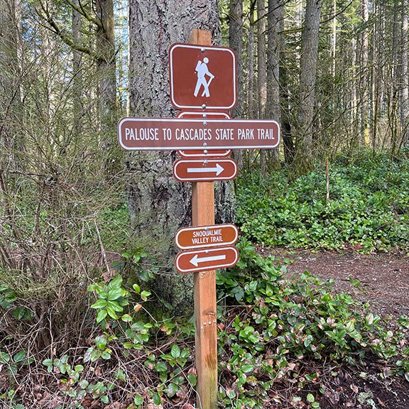
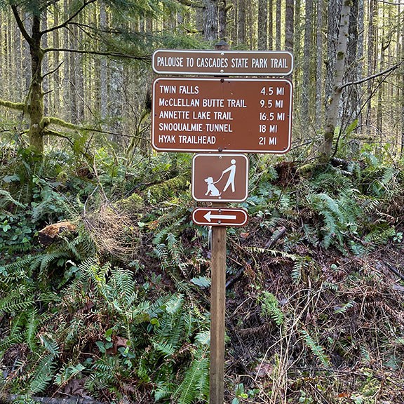
Trail signage.
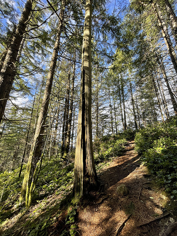
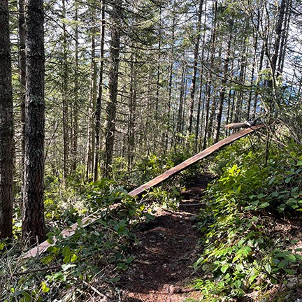
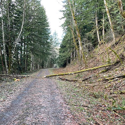
Whatever the trail is called, we set out on the wide, flat trail with the plan to walk a few miles before turning around. I gather it’s where a former railroad once was, based on the initial trail signage near the parking lot at Iron Horse State Park. I should have grabbed a picture of the sucker but I didn’t—it has several different train cars pictured. The trail wasn’t as busy as I thought it would be for a sunny Sunday afternoon. Warm even. It was in the low 50s. But busy enough. There were some mountain bikers, a few families with kiddos, some long-distance runners, dog walkers ON leashes, and several gray-haired folks. That will be Karann and me before we know it.
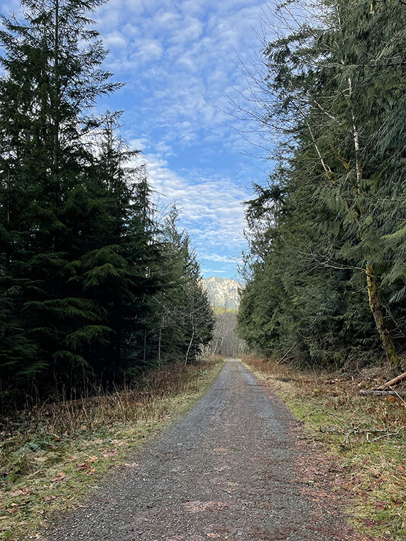
Flat trail!
After about a mile on the trail there is a sign, Cedar Butte, with another trail heading up the hillside. We figured we’d go for it because why not? Neither one of us had hiked up anything in a while. Unless we count house stairs (they don’t count). It was a quiet trail, a nice change from the foot traffic on Iron Horse. We eventually passed a couple coming down with a cute pup. On a leash! Two points for them. Karann and I were wondering why we decided to go up when the plan was to stroll along a flat trail. We were stopped, trying to pull up Cedar Butte trail on our phones, to figure out what we had gotten ourselves into. Meanwhile, two women passed us on their way down and Karann asked them how much further until the top. They said, “You’re closer with each step!” Okay, motivational poster. I know the woman meant well but an actual answer would have been more appreciated. I think she caught on that we weren’t amused and she yelled back, “You’re about 1/4 of the way up!” almost out of earshot. The thing is, even though we both were questioning our decision, we both knew full well we were going to the damn top.
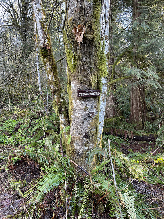
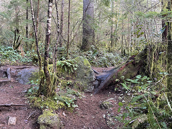
Cedar Butte trail.
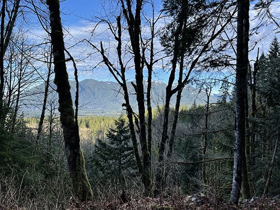
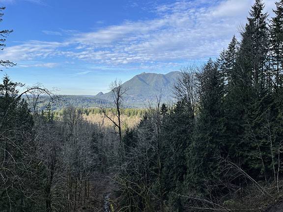
And that’s what we did. We trudged up the trail, casually stopping under the guise of water breaks. And when people came down, we happily pulled over to let them pass. Eventually we made it up there. Talk about a ho-hum view. Not to be a downer, but I was underwhelmed. Not that it wasn’t beautiful, because the entire area up here is stunning. But it wasn’t the best view I’ve seen on a hike. Maybe that’s all.
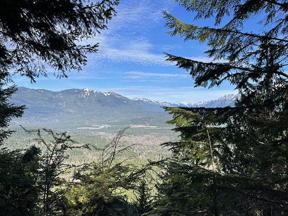
Underwhelming view, but still beautiful!
There were a few couples up there with dogs. Dogs on leashes! Everyone up there—dogs included—was sitting down, enjoying themselves. We were the minority. We stood, looked at the view, snapped a few pictures, turned around, and headed back down. Maybe five minutes tops. The trail was getting busier with people heading up as we hiked down. And all dogs were ON leashes. We met one super cute little pup, maybe eight pounds, who was owning the mountain. She had more energy than everyone combined on the trails that day.
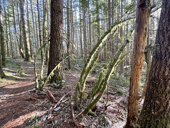
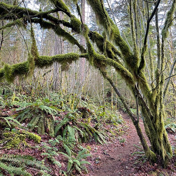
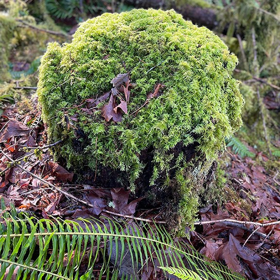
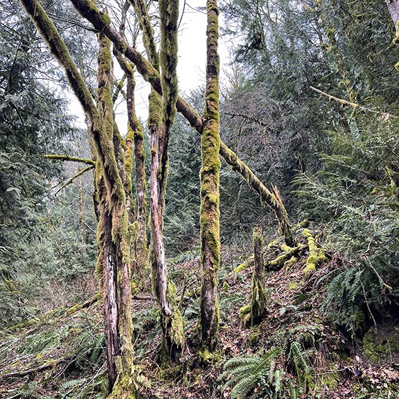
We both said we were happy we went up. And bonus, the trail was super mossy. I love mossy branches, trees, rocks. The shade of moss green is so pretty, especially when the sun hits just right. I think of what life would be like if I still lived where I grew up. The Sacramento area. Where the best part of living there is that it’s half-way between San Francisco and Lake Tahoe. I imagine this is still somewhat true?! But it’s soooo flat. And the river trails, eh. There’s no way I’d live there now. Especially not after experiencing living in the Pacific Northwest. Sacramento is (was?) called the City of Trees. It has nothing on this area!
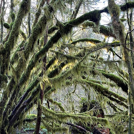
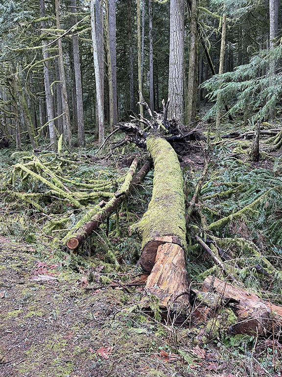
Moss galore! And a split, downed tree over the trail.
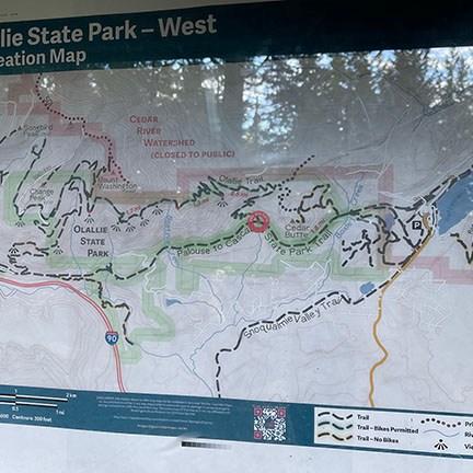
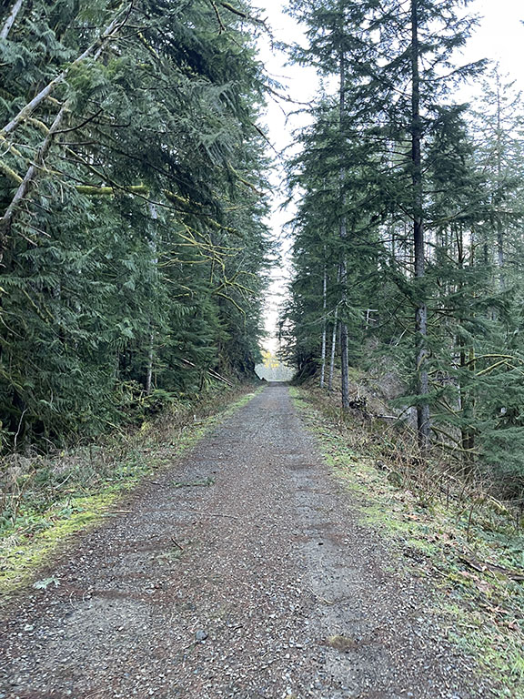
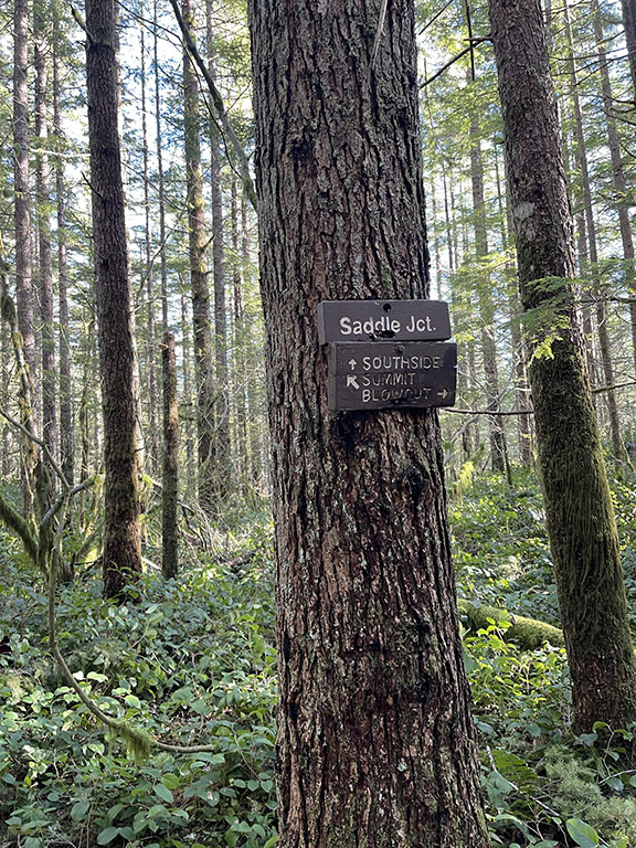
Back on the what’s-its-name trail, we decided to continue on, away from where we started. Eventually we came upon a map that said Ollalie State Park – West, showing us where we were. There is another up-the-hill trail next to the map but we decided to continue going flat, and head to Boetzke Creek that looked about a mile ahead. Of course we tried pronouncing it with terrible German accents. I’m trying now even. Okay, it’s not at all close to what we thought.
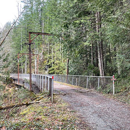
The trail was getting quieter. Sunset was approaching. We encountered nobody going toward Boetzke Creek. We thought we had made it to the creek; there was a bridge along the trail with a small waterfall coming down the mountain and flowing underneath. But there wasn’t a sign. The first creek we crossed, Boxley Creek, had a sign. And it was called out on the Ollalie map also. We were suspicious. Haha. We continued on. Sure enough, we made it to another bridge—a trestle bridge—with a Boetzke Creek sign. I love bridges. I have some unknown obsession with them. Ironically, I can’t stand being on them. Not so much trail bridges; I can hang on most of them.
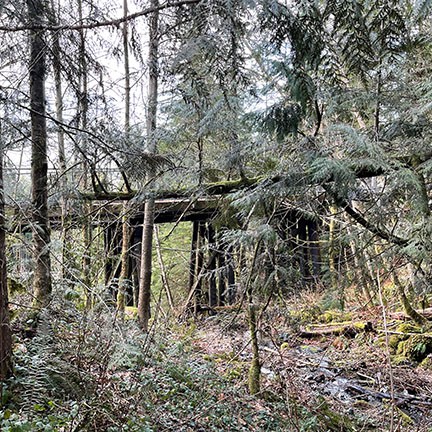
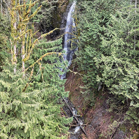
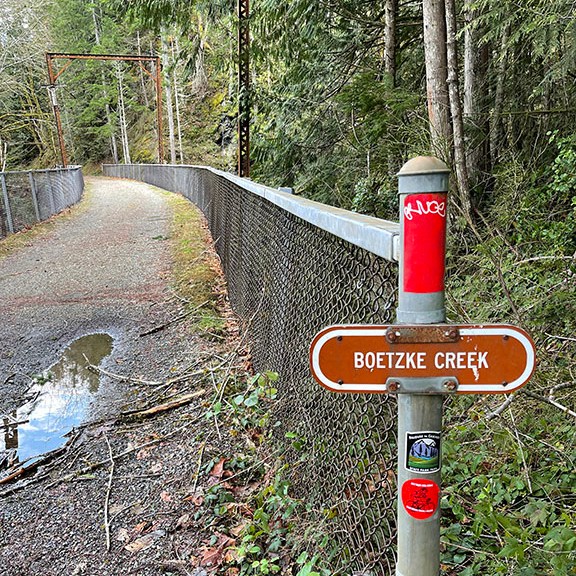
Not Boetzke Creek and then Boetzke Creek.
Just past Boetzke Creek, there are several downed trees. I went to check them out while Karann nosed around on the bridge. Having made it to the creek, we turned back. A mountain biker came flying down from the up-the-hill trail next to the Ollalie map sign. We heard him coming and stopped. I’m not sure he could have stopped?! I admire anyone out and about, doing anything physical. But maybe after buying nice things—like mountain bikes—one should learn how to properly use them. Just my two cents. This is a high income area. It’s not uncommon for bikes to be more expensive than used cars. There’s enough money to also pay for training. And plenty of places willing to take said money.
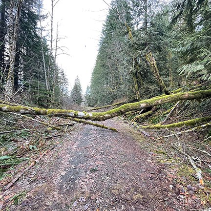
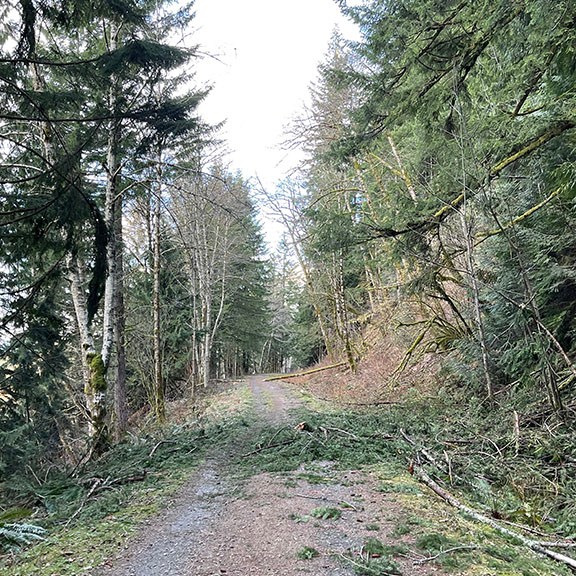
Downed trail trees.
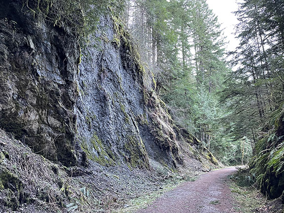
Olallie signage with an up-the-hill trail to the left. And exposed rock just past the sign.
A few more mountain bikers rode past us as we continued back. But it was mostly quiet until we came upon the Cedar Butte trail turn-off. A couple turned onto the main trail from Cedar Butte maybe 50 feet in front or us. Enough distance and similar paces to not be awkward. Like should we speed up to pass, slow down, casually pull over for a drink to get some distance?! The worst is when you decide to go for it and pass, and then have to pull over for whatever reason—water, layer up, tie a shoe, whatever—and then the people you passed catch up and it’s back to being an awkward distance. There was an older gentleman gaining on us as we approached the trail head. He was suddenly about 10 feet behind us, staying at that pace. A bit too close for my comfort. Thankfully we made it back to the signs with all the trains on them. We all briefly stopped to let a Forest Ranger drive his truck up the trail. And then on to the parking lot. He was parked in front of us and we all went on our merry way.
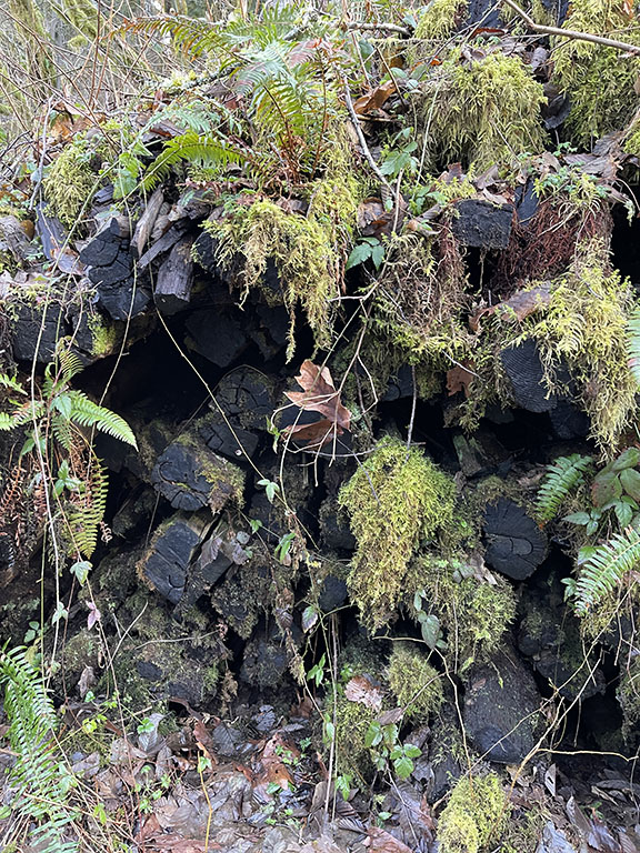
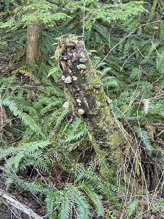
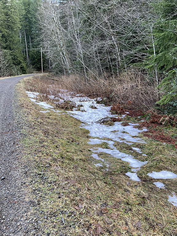
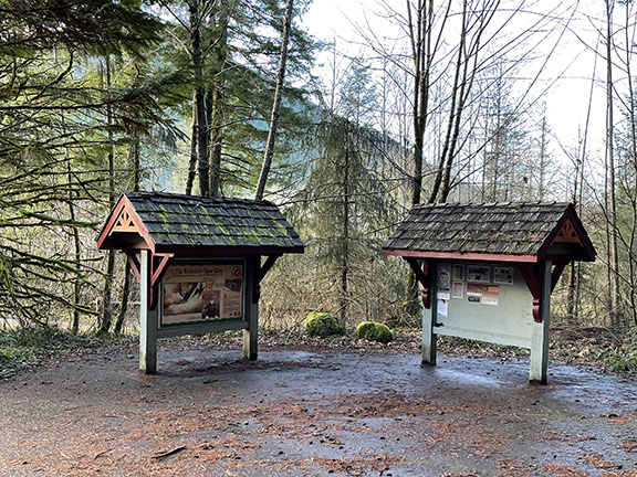
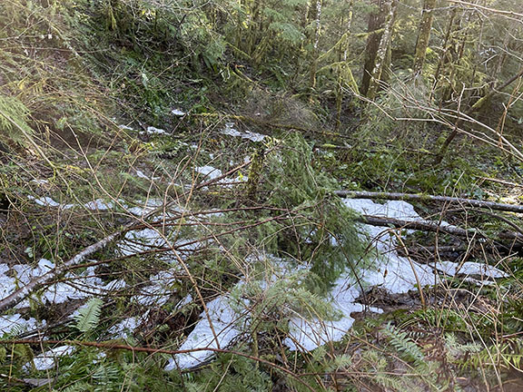
Trail sightings: old railroad ties; fungi galore; some flat trail views; a downed, mossy tree; snow remnants; and the starting trail signs at Iron Horse State Park.
My watch said 8.17 miles. That felt right. And it felt good. I’m so pleased we went for Cedar Butte. It was a nice reminder to get out and up more. And of course I was inspired. Sunday night I researched more hiking trails. Just when I think I have a long enough list, I find more.
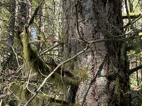
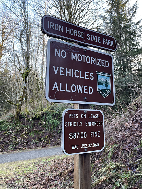
Bonus photos: a little guy in the tree and a pets on leash strictly enforced sign! I LOVE all pups, I just want them on leashes everywhere unless an off-leash dog park.
Karann and I have more days on the calendar blocked off for hikes. And we’re talking about another destination hike, maybe Hawaii or Utah, Arizona, Colorado, Wyoming. So. Many. Options.
