
Supposedly the most haunted trail in Washington State. And one of the top haunted trails in the United States, “…hikers share tales of hearing voices, screams, and sounds around the crash site.” Eh, I’m doubtful. I think people who hear whatever are receptive to hearing these sounds, making any noise a possibility for them to chalk up to the trail being haunted. We heard nothing.
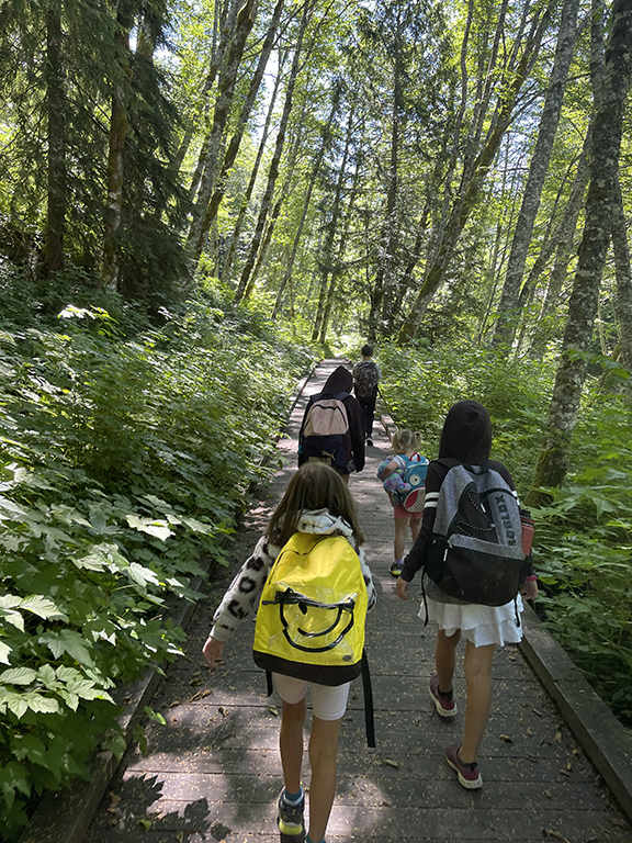
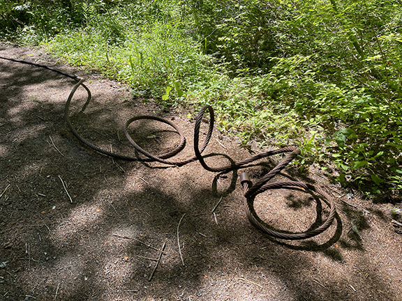
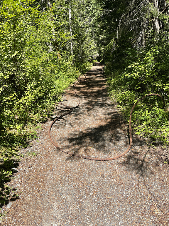
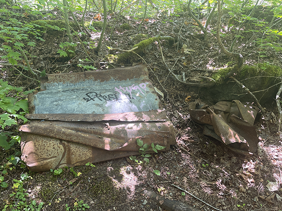
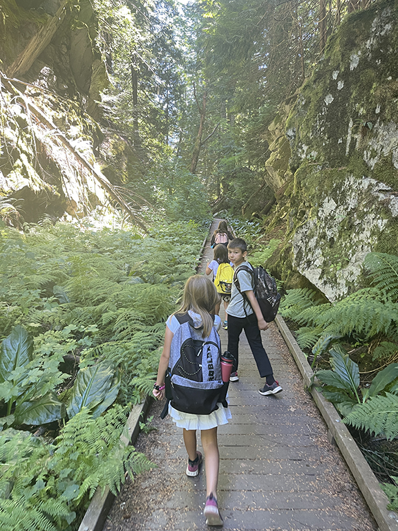
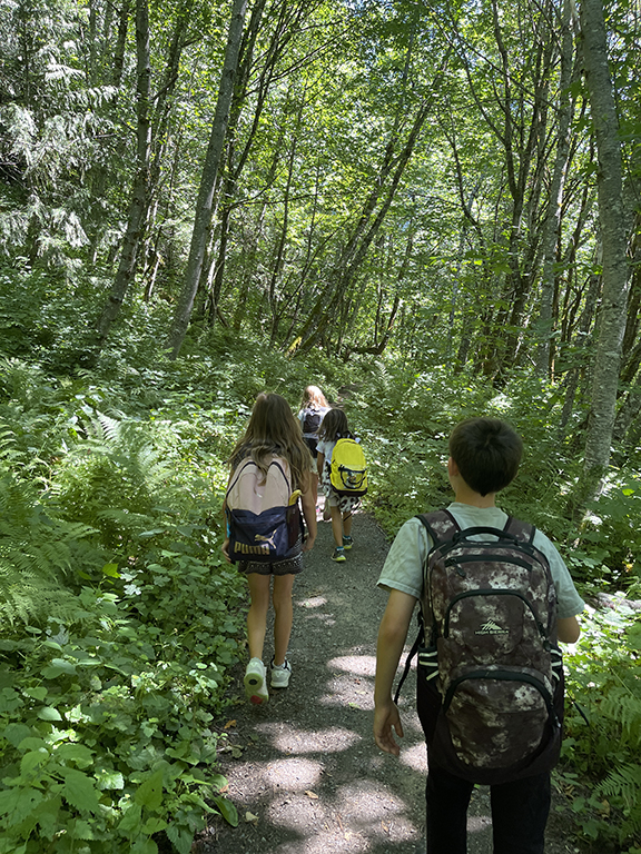
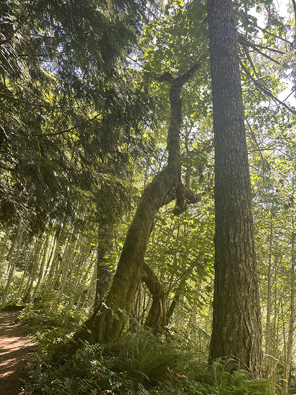
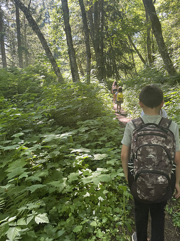
Iron Goat Trail is probably my favorite with kiddos trail we’ve ever hiked as a family. To simplify why: it’s super cool. Haha. I think it’s probably because it has something more to offer than just a trail. It kept the kiddos’ interest a bit more than check out that tree, and that tree, and hey, look at that tree over there! Iron Goat has not only trees but tunnels, a bridge, some boardwalks, a few lookouts, interpretive signs, decaying metal, old mile markers, an avalanche wall… so many things to check out.
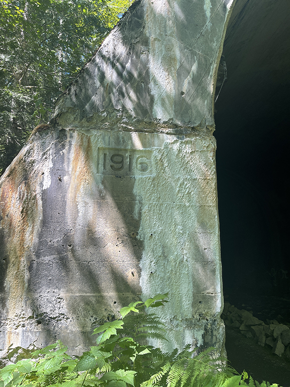
The history alone is reason enough to make this a cool trail. The railroad was built in 1893 and the site of the 1910 Wellington avalanche, the worst in U.S. history—still to this day—where 96 people died. Hence the reason people claim to hear voices and screams. Brian was so intrigued by this hike, and the history, that he bought a book with more detail about the railroad and disaster. For him to buy a book post-hike, and hear him say he wants to go back, is reason enough this was the best family hike. Brian isn’t a hiking fan. It’s not that he doesn’t enjoy himself when we go, it’s that he would never suggest we go hiking on his own. It’s part of my cruise director duties around here. He has his duties—like cooking, taking out the trash, and being the designated battery changing guy to name a few, and that whole full-time job to support the family thing—so it all evens out.
Iron Goat had been on my list for about two years before checking it off in early August. Somewhere along the line I learned about the hike and wanted to check it off right away. But life. It gets in the way. And waiting for the stars to align to make it happen takes effort. The hike is right off the 2, right before Steven’s Pass. I don’t like to hike solo with kiddos that far away. Especially off quiet forest roads. And when cell service is questionable. Finding a friend who has similar availability, to take the time to drive the 90 minutes, and have an entire day to devote to the hike… yeah, it’s always possible but it takes more effort than I want to put it at times. My solution was to make it a family hike, and have Brian tag along with us. And that’s exactly what we did.
Summer Saturdays are usually spent at home. I avoid crowds at all costs. And on sunny summer weekends, hiking trails are usually jam-packed. Especially the popular ones. I still remember hiking Twin Falls on a summer Saturday back when it was only Blaise and Laine, and they were in the hiking backpacks. So. Many. People. It was hard to enjoy the hike constantly passing people. All lovely people I’m sure, but I don’t want to see that many folks out and about. Turns out Iron Goat Trail isn’s as popular as I thought?! If it is, it wasn’t popular the Saturday we went. It was quite dead. A ghost trail. Haha.
It took us a good 90 minutes to get there. We left around 9am and made it there just after 10:30am. The directions said to turn left off the 2 onto the Old Cascade Highway. Yeah, nope. The road is closed with barricades. We turned left a bit further up, before the curve on the 2 and passed the Iron Goat Interpretive parking lot. Which would have worked just fine but I realized this mid-hike. We continued on the paved road until it turned to gravel, and drove a few more miles until we reached the parking lot for the Iron Goat Trailhead. The one WTA has linked on their site. There were two other cars parked but no sign of anyone. Darn.
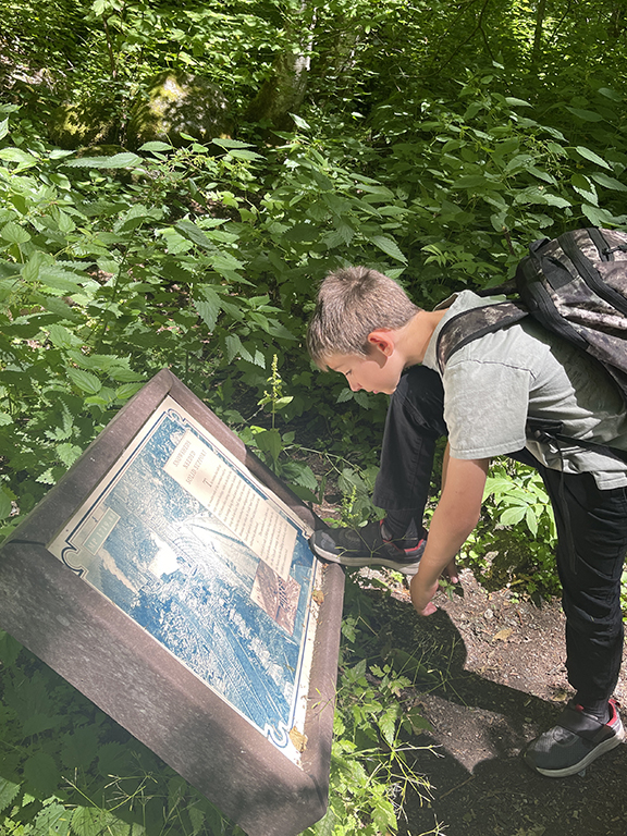
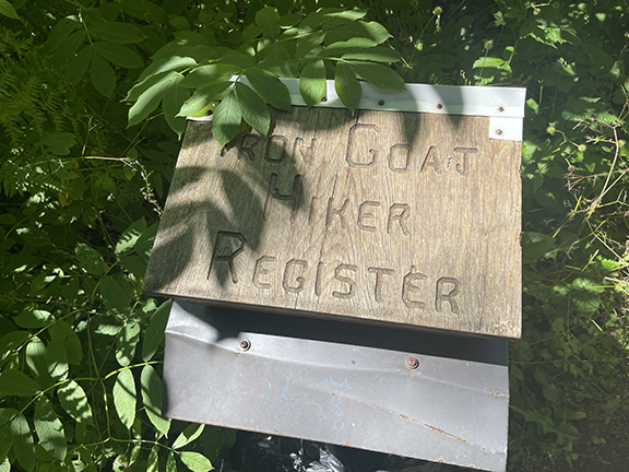
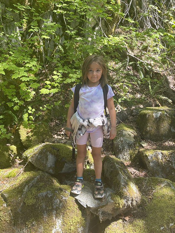
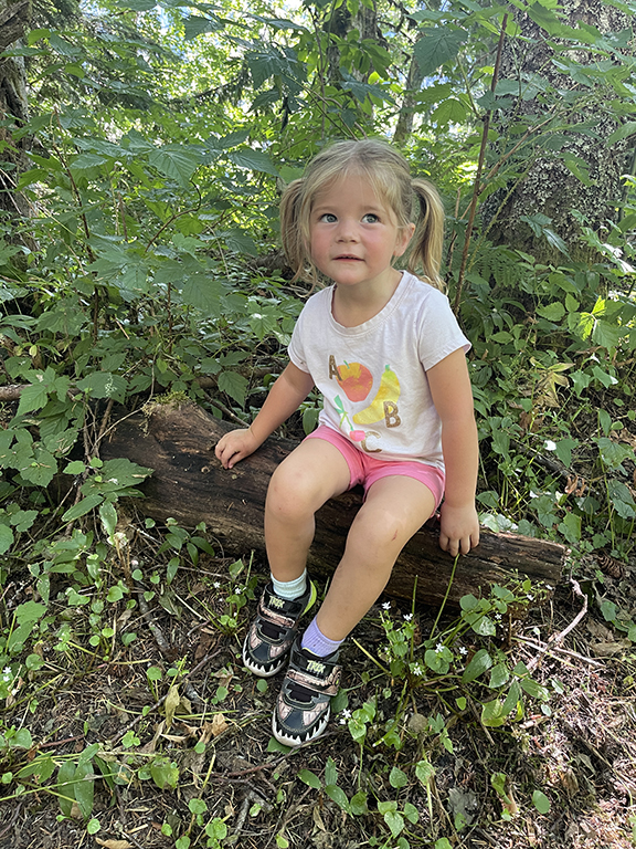
Maive decided the few days before to potty train herself. This was her first extended outing wearing undies. There is a pit toilet at the trailhead that Maive had to use. I call it the Great Restroom Tour of North America when the girls start using restrooms—Blaise never had any interest in checking out restrooms. Maive is no different than the other gals. If we’re somewhere and there is a restroom, she suddenly has to go. Restroom tour, check. Everyone was ready to roll. After checking out the trailhead board and plaques, we were off.
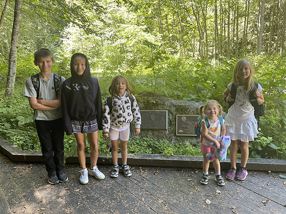
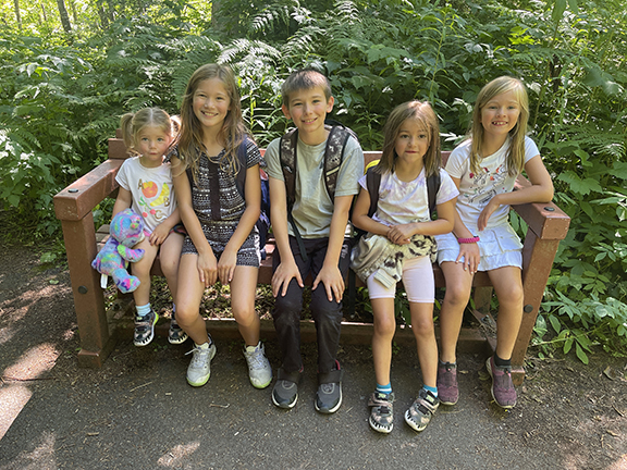
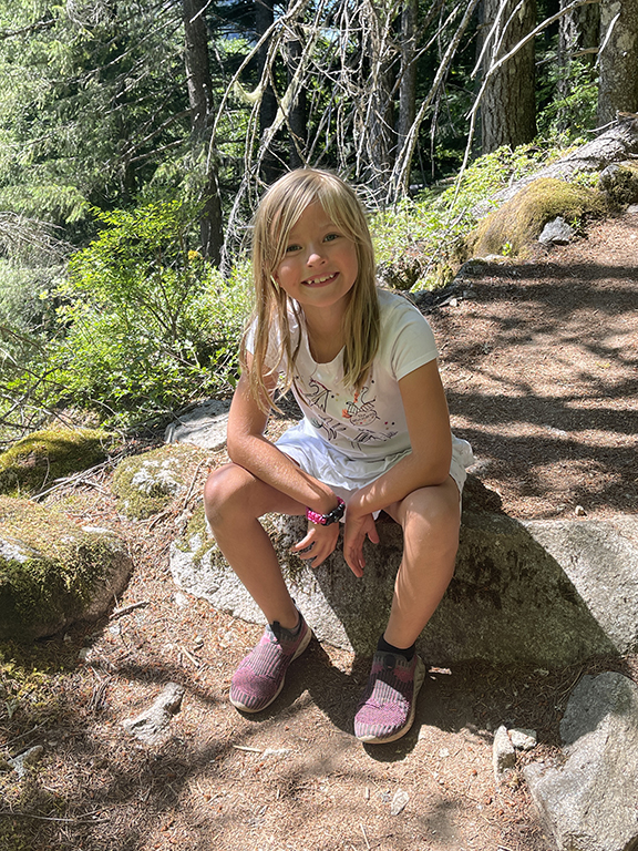
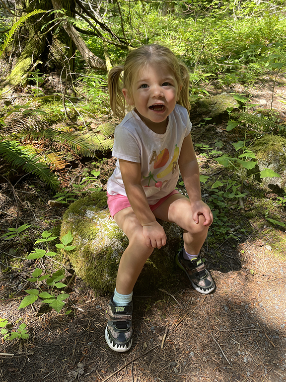
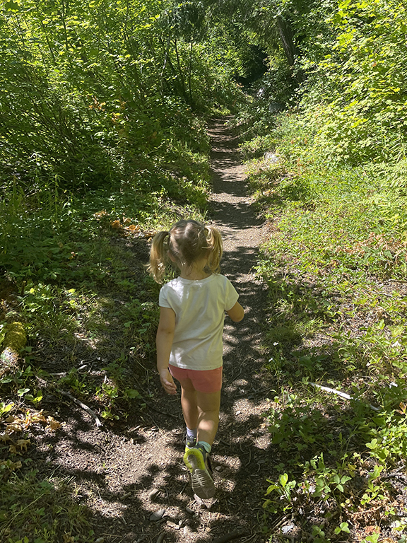
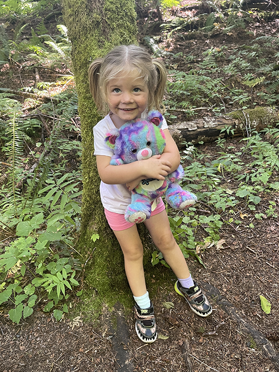
Trailhead kiddos.
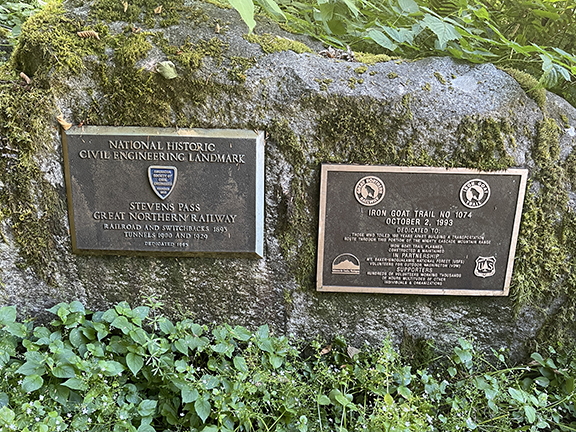
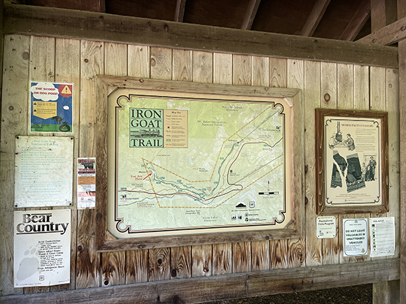
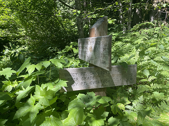
Trailhead signage and plaques.
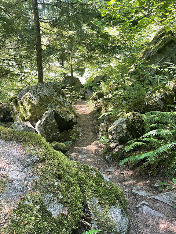
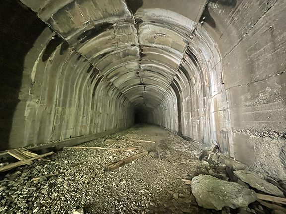
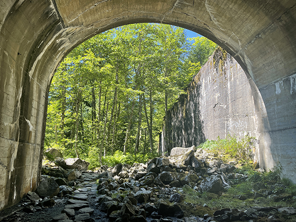
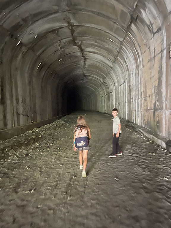
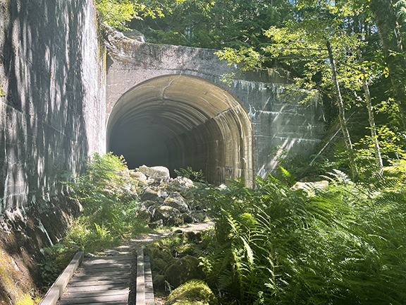
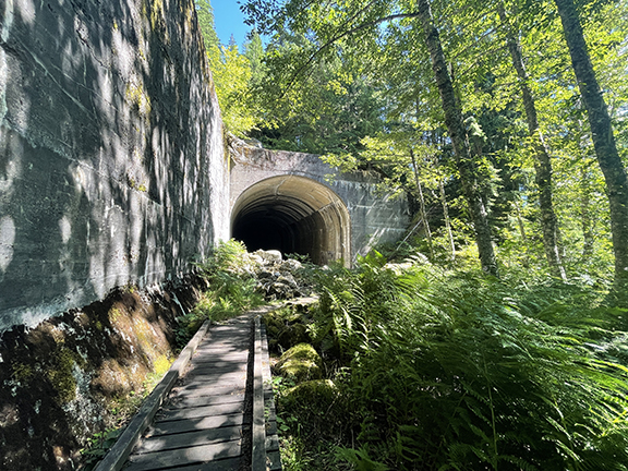
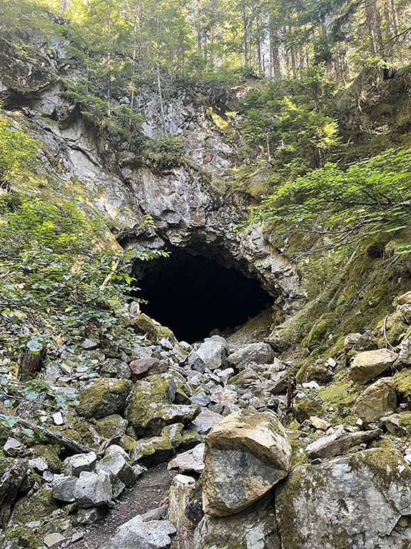
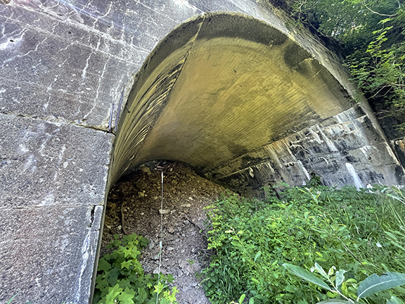
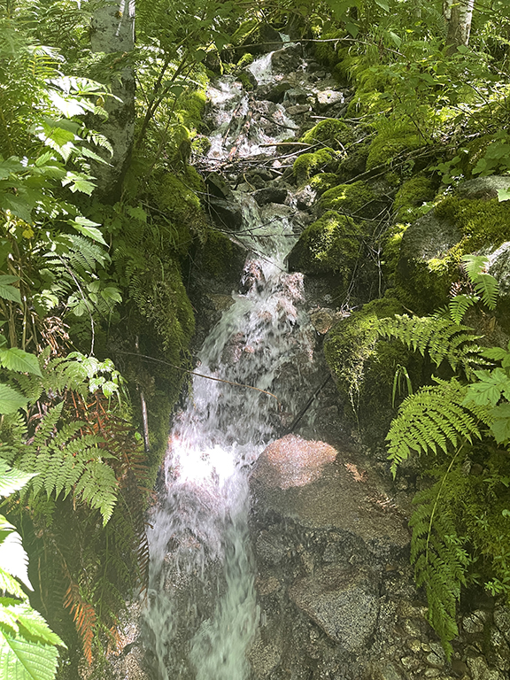
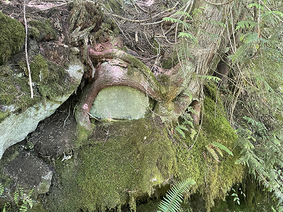
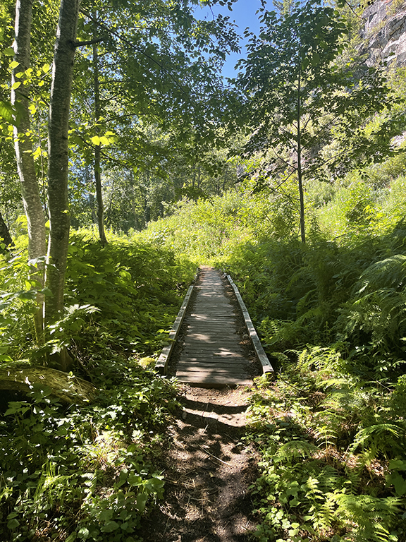
The trail starts off with a boardwalk before turning to a well-maintained dirt trail. There are interpretive boards galore before coming upon the first tunnel. Also with an interpretive sign. It felt like tunnel after tunnel before we came upon a bridge before another tunnel. It’s so freaking cool. All the old tunnels, mostly still standing. We explored each of them. And then the bridge?! I love a bridge. Pictures can do the talking here.
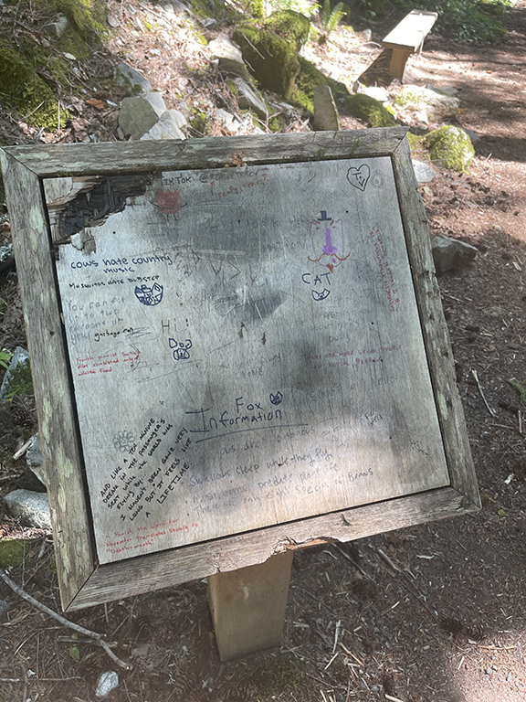
Before the tunnels. I like the cows hate country music writing. Doesn’t everybody?! Reminds me of Bo Burnham’s take on country music, hahaha.
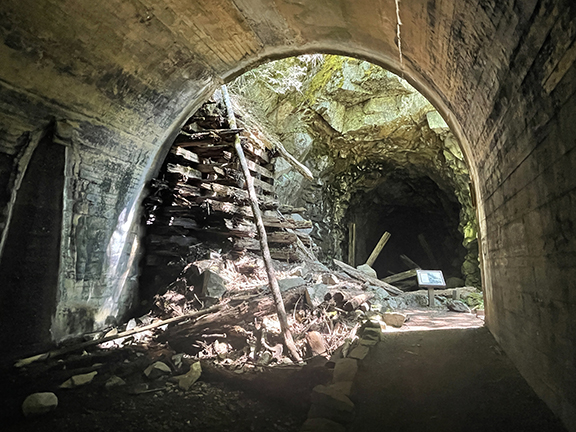
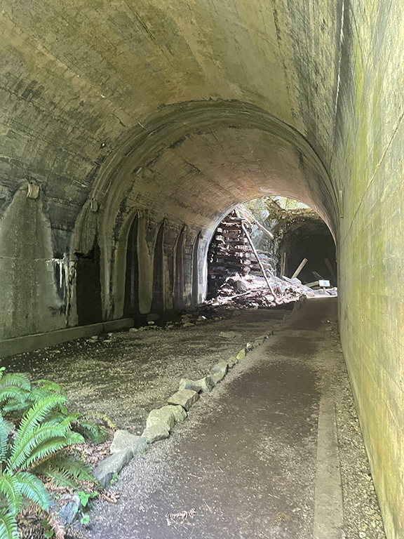
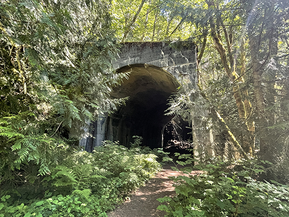
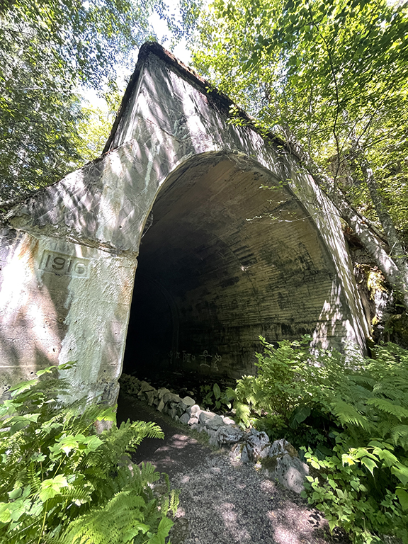
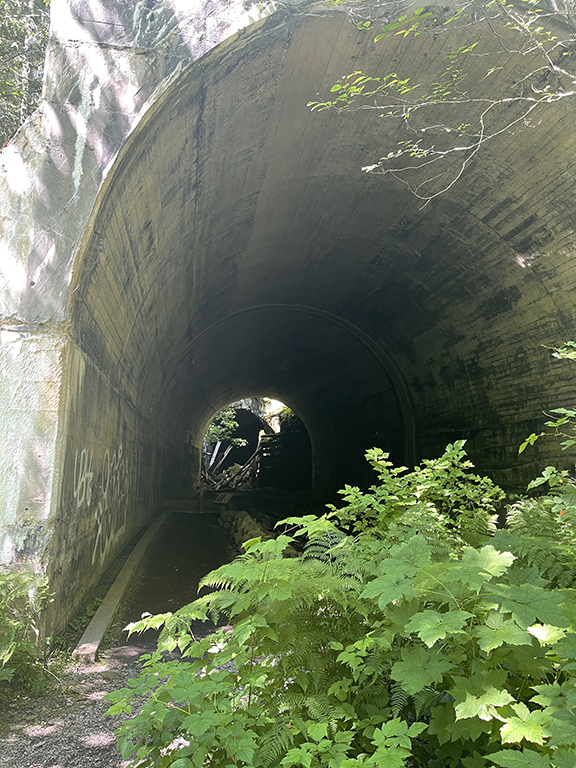
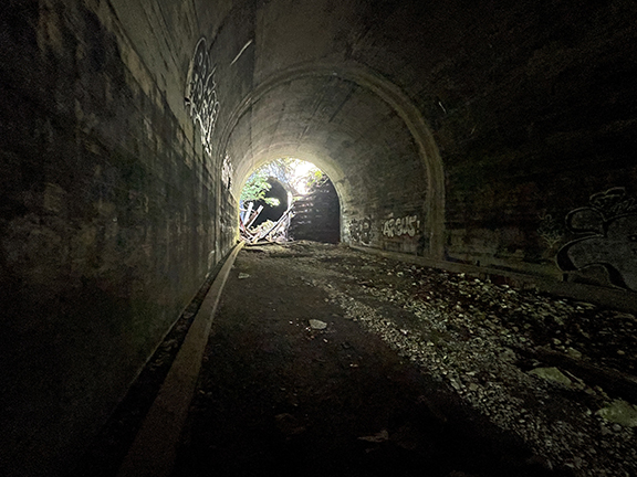
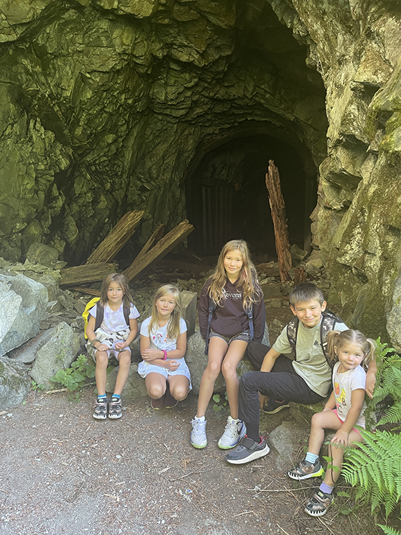
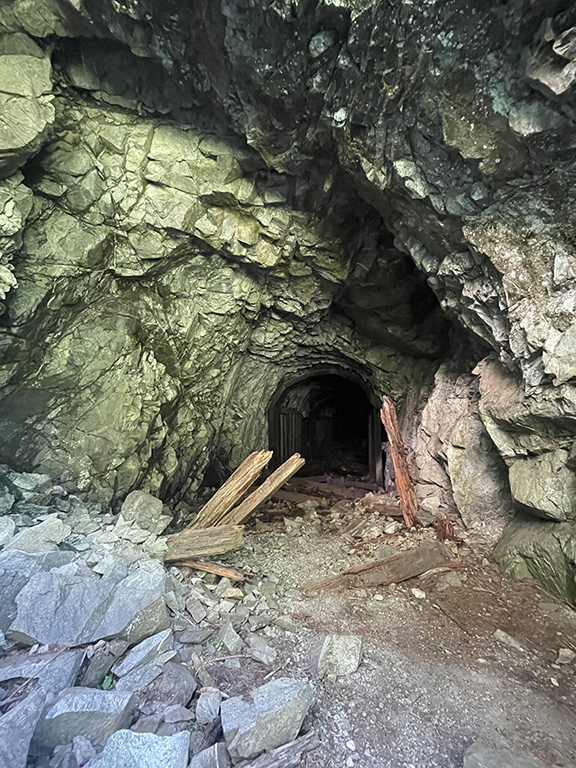
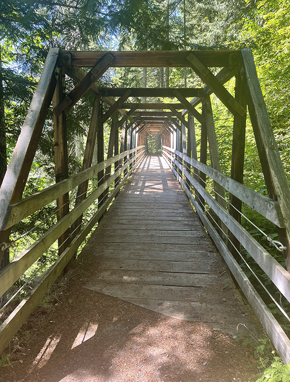
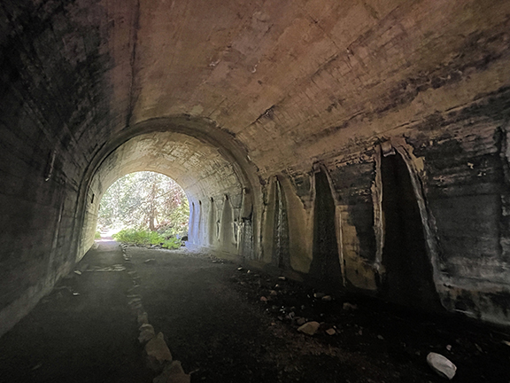
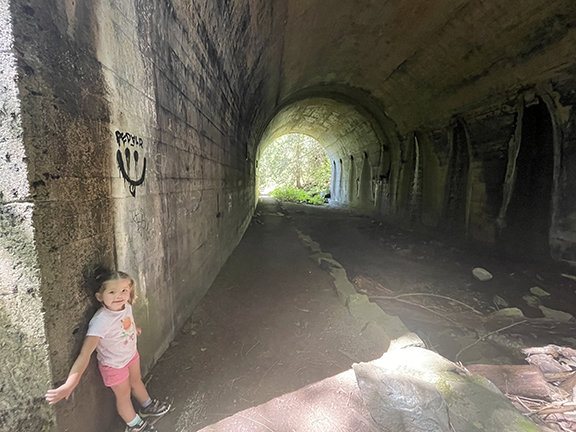
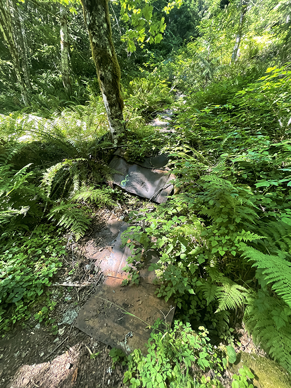
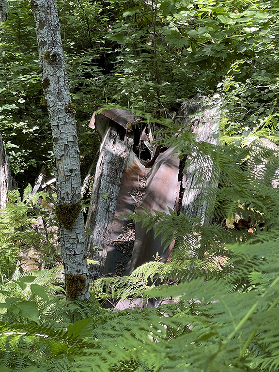
Tunnels! Some still standing and a few collapsed. And a bridge!
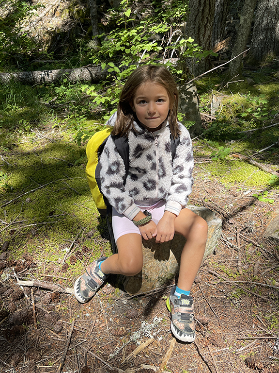
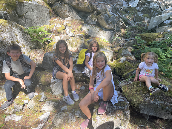
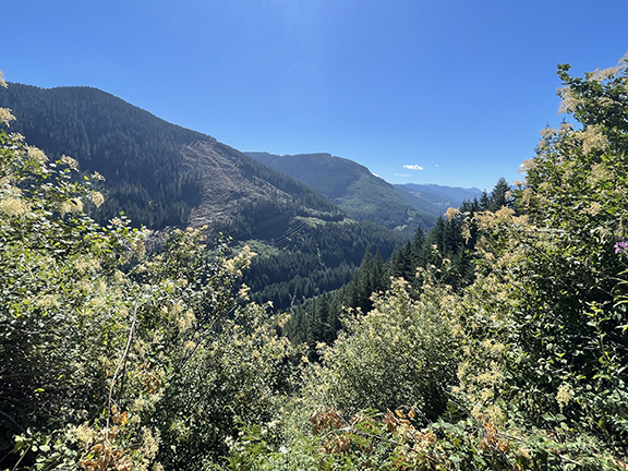
It was time for lunch. I had the foresight to pack lunches. Even Brian packed himself a lunch. But not me, I don’t like to eat on hikes. We found a lookout spot to park it and eat. The kiddos and Brian grubbed while I enjoyed watching the kiddos. Sometimes I remember that we have five kiddos, all functioning humans, and watching them do mundane things—like eating lunch and chatting with each other—can be entertaining. Maybe 20 minutes later we were packed up and ready to continue on the trail.
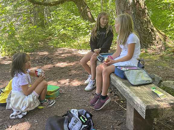
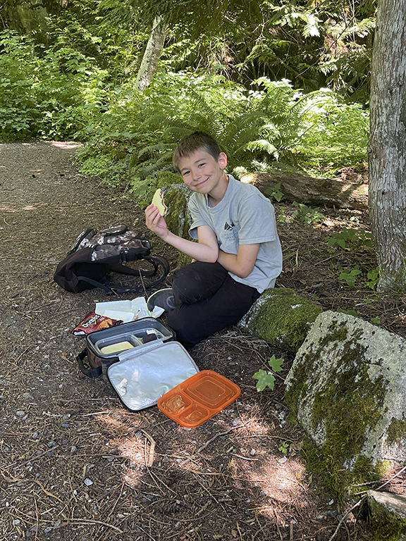
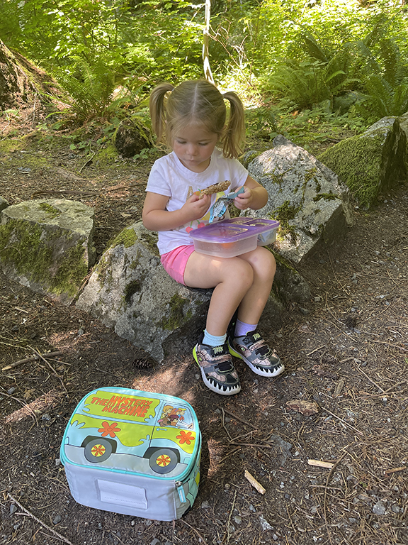
Lunchtime with a view.
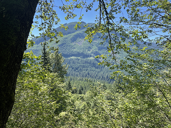
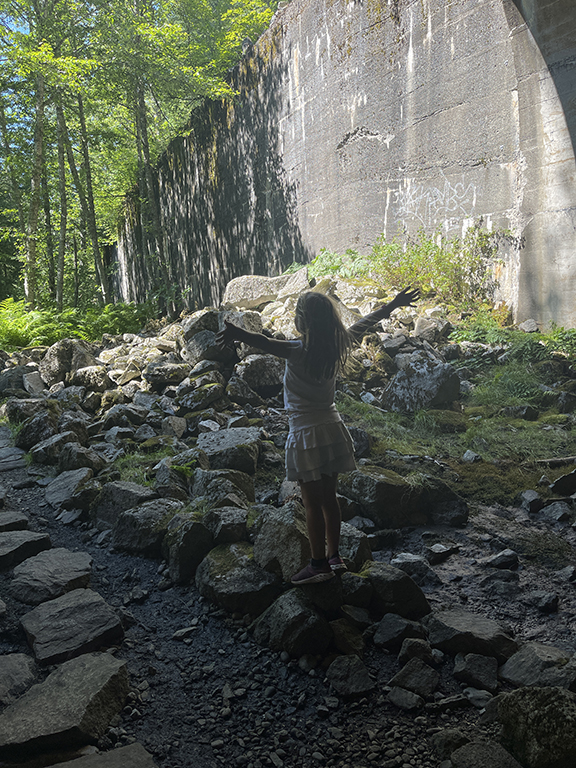
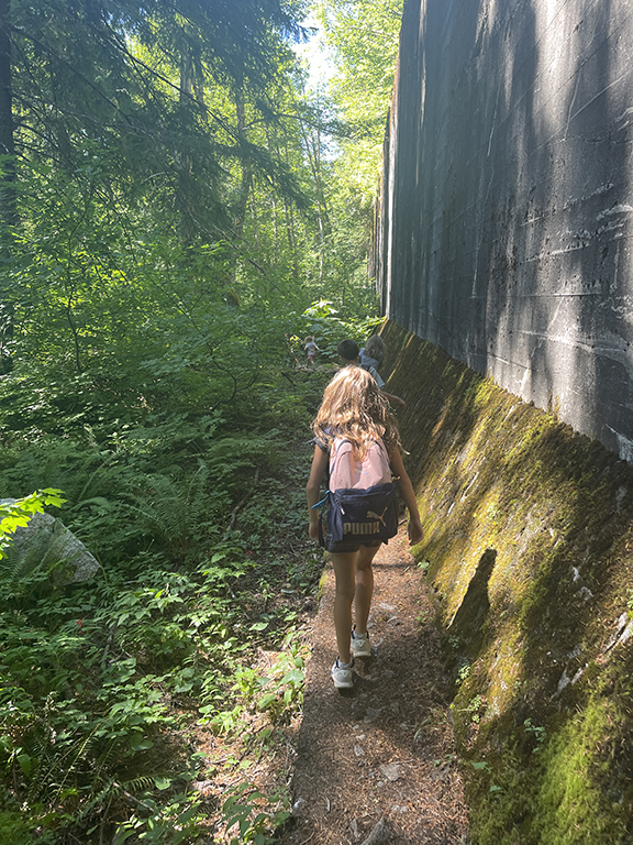
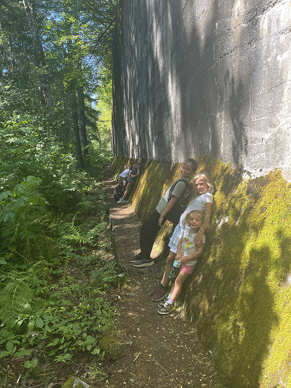
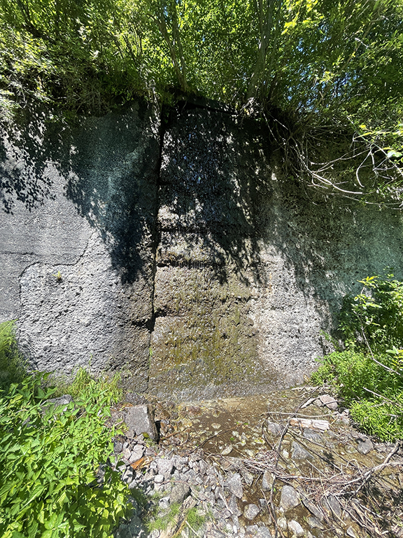
The lower half is about three miles, and filled with tunnels galore. We walked along a massive avalanche wall. I could likely Google this but I remember reading somewhere that the wall is a mile long?! Maybe a bit longer?! It’s long. Like Long Cat long. Eventually we made it to the end of the lower trail, where the Iron Goat Interpretive parking lot is located. We didn’t know it at the time, but there is a red caboose in the interpretive parking lot. This would be neat for the kiddos to check out if I had known. Next time.
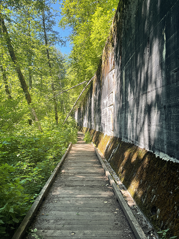
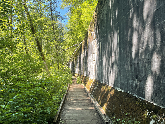
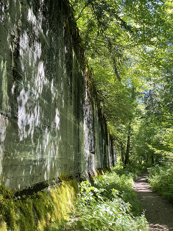
Avalanche wall along the trail.
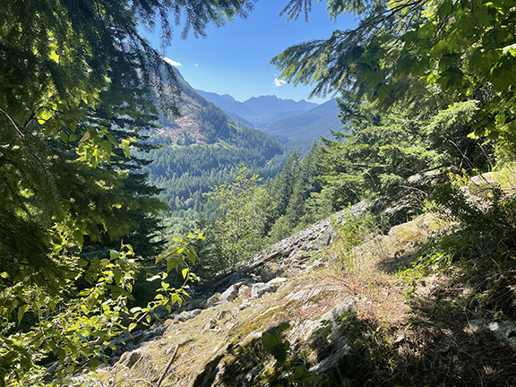
There’s a bench and a trail log station no longer in use, and signage to the upper trail. I’m guilty of not really reading trail information or trail reports prior to hikes—I like to experience them knowing almost nothing. Then there are no expectations and things can be a surprise. I mean, within reason. I knew there is an upper trail. But how to get there, no idea other than up. We went for it, not knowing what to expect. This was probably best.
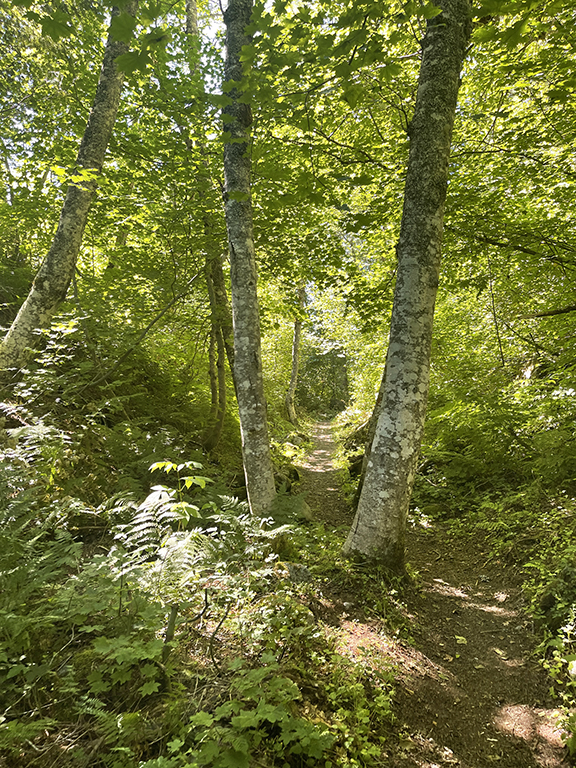
Before the switchbacks.
Switchbacks. Like 15 of them. If you count switchbacks individually? Like by each line or is a switchback more of the V?! I’m counting them individually. Switchbacks, no biggie. But 700 feet in about 0.25 miles, in 15 switchbacks, with kiddos, we weren’t expecting these. Hahaha. It’s all good. We managed and survived, with many complaints in the heat of the moment. And it was hot. Heat didn’t help. A nice older couple was up there when we made it to the upper trail, and they offered to take our picture at the Windy Tunnel. We all look like tomatoes. I won’t be adding that picture here.
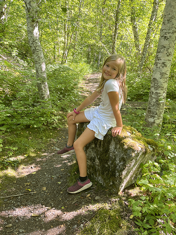
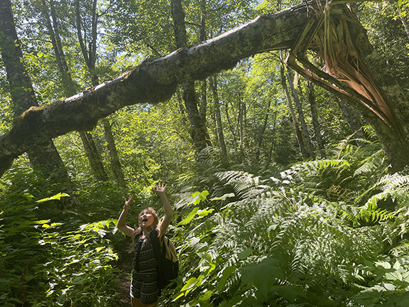
A switchback and a Saige break along the way up.
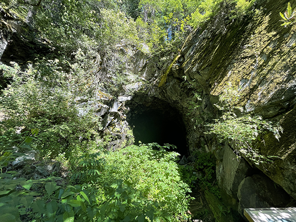
Let’s talk about the Windy Tunnel. This is by far the BEST part of the trail, in my opinion. Windy Tunnel is at the top of the switchbacks. And it’s windy. Super freaking cool. Like you stand there at the entrance of the tunnel and the air is dead. Walk a few feet inside the tunnel, wind storm. Which was welcomed since we were all hot and sweaty from the switchbacks. There is an interpretive sign at the entrance to Windy Tunnel which probably explains why it’s windy. I didn’t read the sucker. I should have. Next time.
We all kept experimenting with entering and exiting the tunnel, to feel the wind. Blaise, Laine, and I explored a bit into the tunnel. You’re not supposed to do this, and my rule-following self had a hard time doing this. So much so that we didn’t last long; we turned around after maybe 20 feet past the fence? It felt wrong. Even though there is no official rule. Only suggestions not to enter the tunnels since there’s always a possibility of collapse, making them unsafe. The Windy Tunnel curves so the exit can’t be seen from the entrance. If I could allow myself, I’d love to walk through the tunnel with headlamps to see where it goes and if there’s an exit on the other end.

Windy Tunnel! And Baby representing how we all looked (and felt) after the switchbacks, haha.
Windy Tunnel must have captured our attention for almost a half-hour. We exited the tunnel, where it’s still safe since the interpretive sign is maybe 20 feet inside before the waist-high fence. There is a trail to the right of the tunnel that goes to a lookout and the option to extend the hike further on the trail. Perhaps the other side of Windy Tunnel can be seen going that way? Again, next time. We decided to go to the left of Windy Tunnel, essentially back-tracking on the upper trail.
Looking back at the Windy Tunnel.
A narrow boardwalk follows closely next to the upper trail avalanche wall until it randomly ends. And then it turns to a narrow dirt trail that is kind of questionable. I mean, it’s clearly a trail but super narrow and not marked. We figured we were on the trail but it wasn’t super apparent until we passed the wall and the narrow trail opened back up to a wide dirt trail turning away from the avalanche wall. Hopefully that makes sense?!
Along the upper trail avalanche wall.
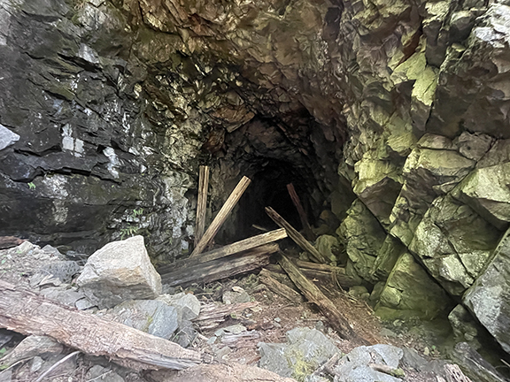
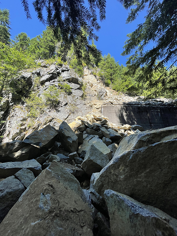
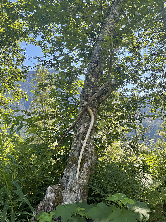
Back on the wide dirt trail, we came upon fallen rocks. Not a few but a massive amount of rocks, like a rock avalanche. We climbed over the ones blocking the trail before emerging back on the dirt. The trail became more quiet, with fewer things to check out. Mostly trees and views at this point. Eventually some upper tunnels appear. The ones up high aren’t in great shape. One is fully collapsed and another is partially collapsed. And the ones still standing look way older than the tunnels on the lower trail.
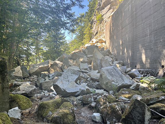
Fallen rocks on the trail. And downed mile marker sign.
Upper tunnels, in bad shape.
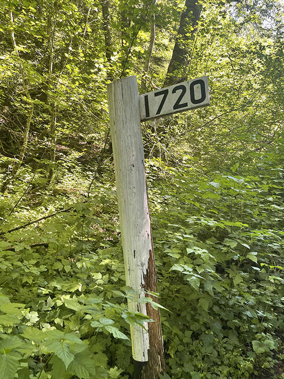
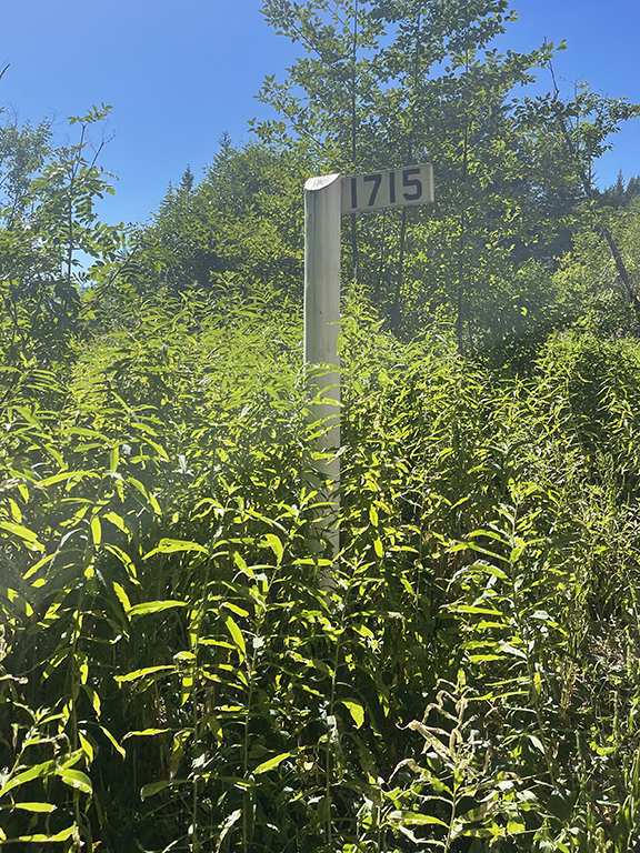
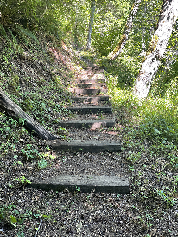
There are stairs randomly along the way. With no signage to figure out why, I climbed them to see if there is anything worth checking out. Nothing to write home about. I imagine walking a bit further from the top of the stairs has something worthwhile. Maybe next time.
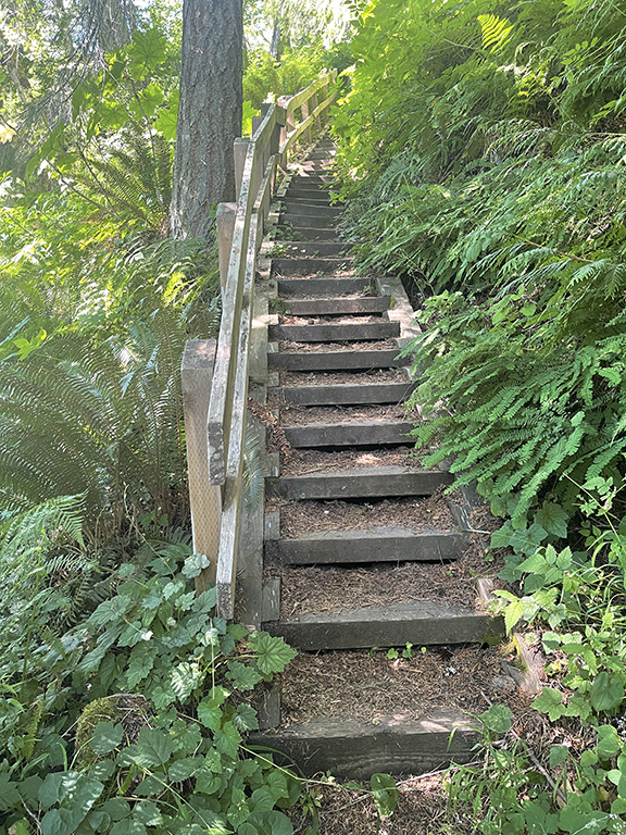
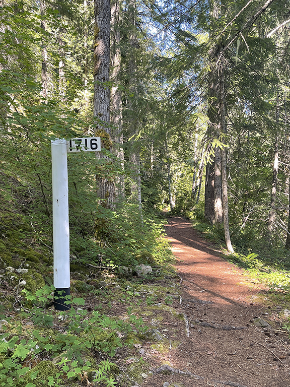
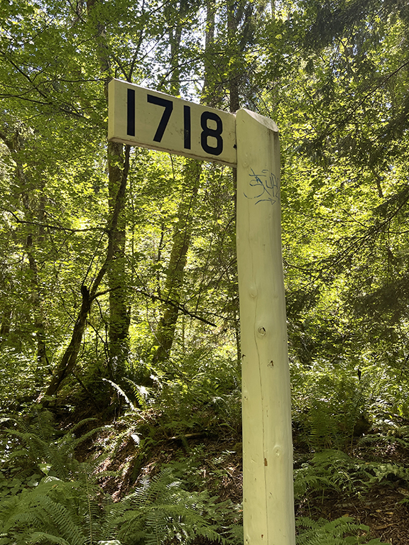
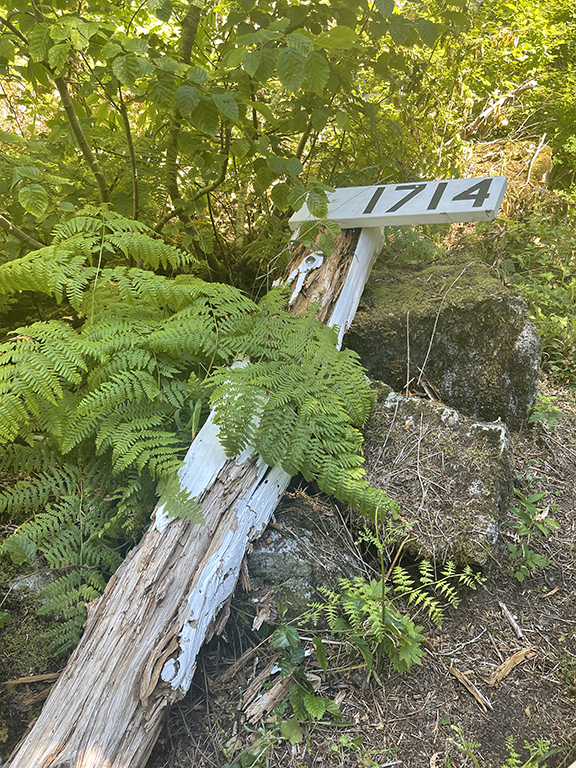
Random stairs near the 1716 mile marker.
At this point, the kiddos were getting tired. It was all about powering on so we could finish up. We were over six miles in at this point. I had pulled up the trail map on my phone and noted there are two ways to get back to the lower trail. We opted to take the one closest to the trailhead where we started; it felt like it would be the easier of the two. The other one is a switchback—one V—but backtracked a bit before getting to the lower trail. The one we took goes straight down in one line. It felt more tired kiddos and toddler approved. It was the right call. We made it down to the lower trail in no time.
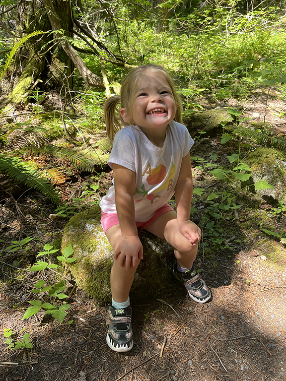
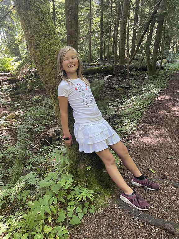
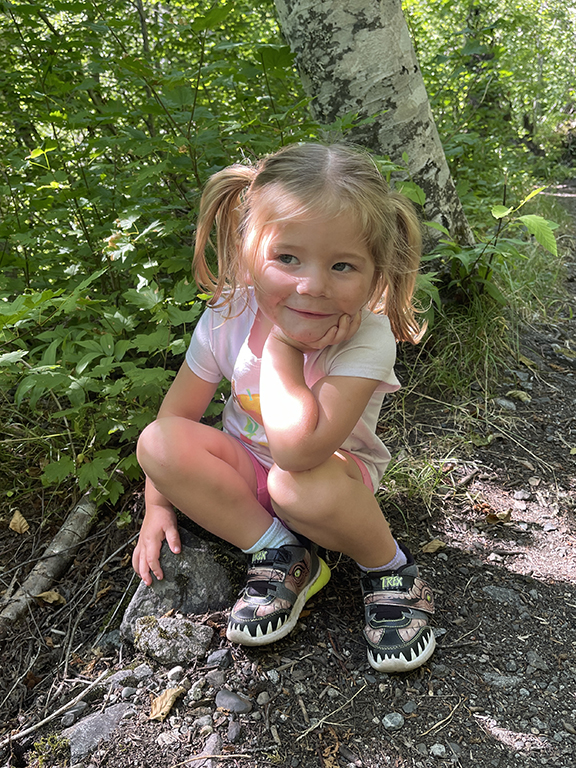
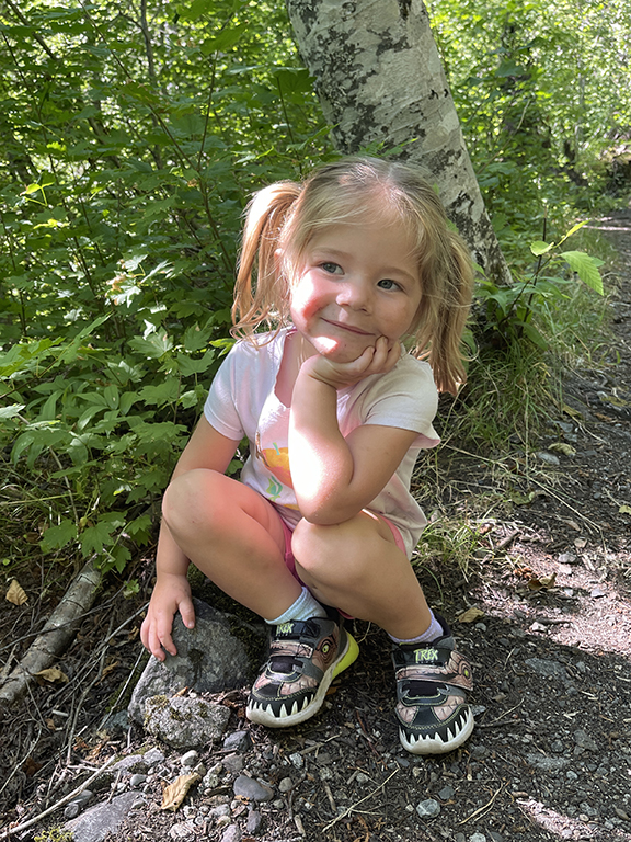
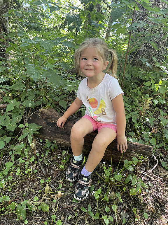
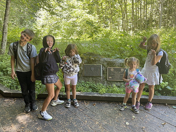
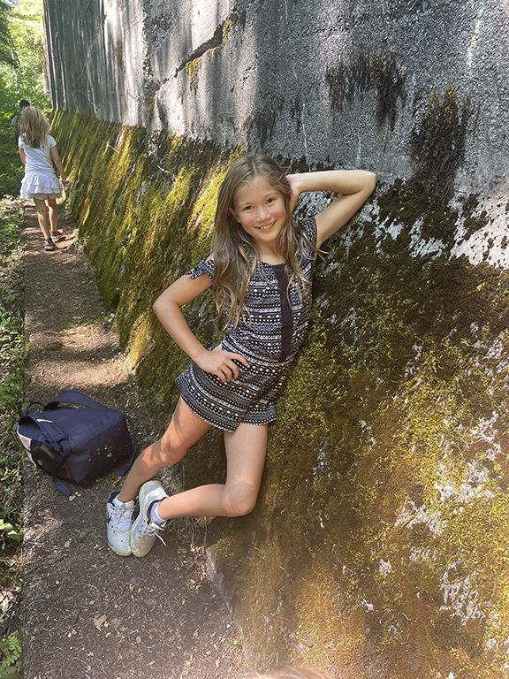
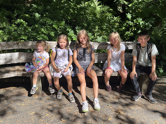
Pictures galore from the hike. Saige and Maive asked for their picture to be taken quite often.
Back at the bottom, we headed back to the parking lot. All said and done, we clocked 6.76 miles. Not too shabby for the short hike we thought we were doing, let alone with five kiddos in tow. It’s not that I would change anything since it was an experience. Buuuuut if I were to go again—all those next times—I’d park at the interpretive lot and hike the lower trail, head up to the upper trail the way we came down, and then head down the switchbacks back to the interpretive parking lot (and check out the red caboose).
After 6.76 miles. Success!
Until next time. This hike or another.
