
Talk about a cluster of a hike. It’s entertaining now, looking back. And we knew in the moment we’d be happy we hiked, and how everything that went wrong would make for fun memories. But man, we were not feeling things this day. The goal was to hike up Mount Margaret. We kind of did?
Starting with the drive there, we went down the wrong road. And this wasn’t just a road. It’s a narrow path with overgrown bushes on either side of Karann’s car. Like if you look out the windows, all you see is green a few inches from the windows. The directions said to take a Forest Road, and however many miles up, when the road splits, to veer to the left. That’s what we did. We thought. But after about a mile down this overgrown road, we realized we were wrong. The challenge became finding a spot to turn around. It took about six three-point turns before we were heading back to the main Forest Road. We turned left to continue going up the main one… and sure enough there was another split where veering left makes way more sense. But it still had a challenge.
There is a massive pothole on the road we needed to drive up. So large that there were a few cars parked right there, with the assumption that they decided to walk up to the trailhead instead of drive there. I got out to help with spacing and Karann managed to scoot her car all the way to the left—almost in the brush—barely missing the pothole with her tire. The BMW SUV waiting behind us probably thought we were overthinking this, as they went for it after we passed… they didn’t make it to the parking lot until about five minutes after us. I’m thinking their going for it backfired.
We parked and hit the trail. There is a trail to the left of the parking lot. We set off. Until the trail turned into nothing, just forest. We quickly realized this isn’t the actual trail. This was our own damn fault. We just assumed this was the trail. Back to the parking lot we went. We looked at the board. It said the trail is up the Forest Road, beginning at a gate. But I don’t feel too dumb because the BMW crew started walking toward the trail to nothing that we had just come back from.
Walking up the Forest Road, it was steep-ish. And we were not feeling things. This was both of our first hikes since the two weeks of smoke hell. Our energy was low. Maybe all the smoke annoyed our lungs? My legs felt like cinder blocks. And we weren’t even at the trailhead yet. About the trailhead, the board said to look for a gate. THERE WAS NO GATE. We happened to watch a trail runner go up a trail so we figured it must be the right one. It was. There were two rusted posts that look like they must have had a gate attached years ago. But the damn posts aren’t even visible from the Forest Road. We lucked out the trail runner knew where he was going.
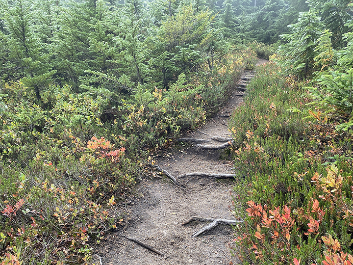
Steep start. And super rocky. It’s a former Forest Road that has been decommissioned. We smartened up and opened the webpage with directions. Karann took a screenshot. After walking up the decommissioned road, it says to turn left off the road to follow the direction sign for hikers. We finally make it to what looks like a trail on the left. There is a sign that says Hiker Trail. Haha. The sign HAS NO DIRECTIONS. Maybe my expectations are high but literally every other trail I’ve ever hiked on has had super clear signage. With arrows. Thankfully someone etched Margaret Lake on the bottom of the damn sign. Thank you, person.
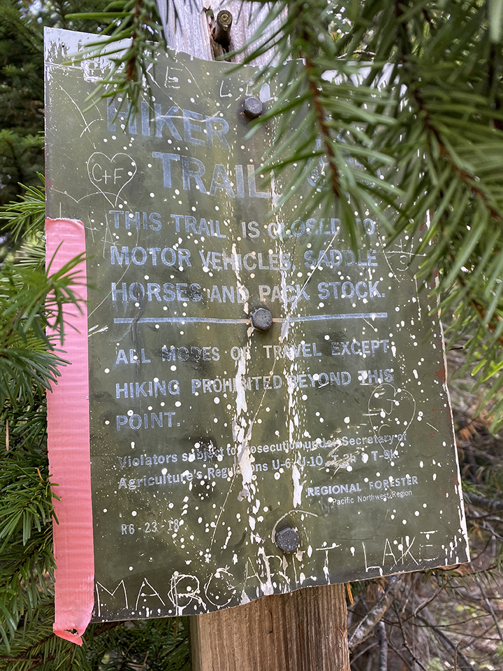
Hiking Trail sign. Thank you, vandalizer, for etching Margaret Lake on the super informative sign.
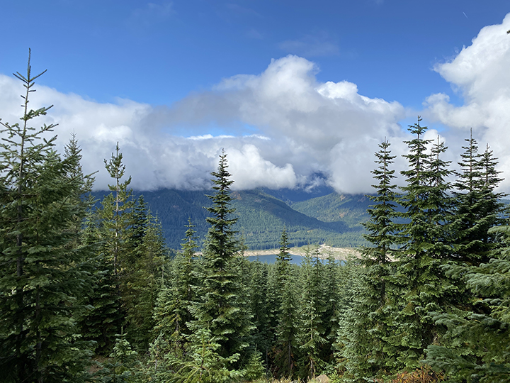
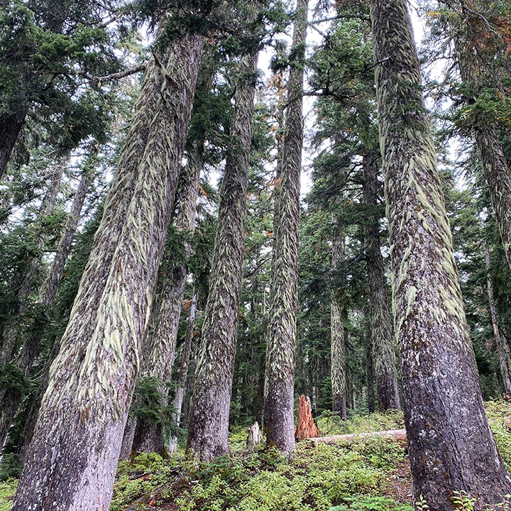
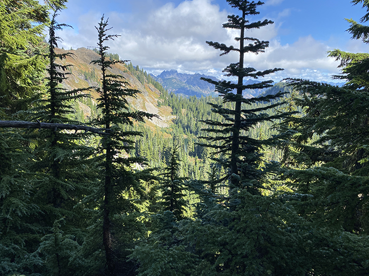
At this point, we were already over the damn hike. We were not feeling it, our legs felt heavy. We never wanted to quit though; we knew we’d be happy we’d hiked in the end. We started up the Hiker Trail. It’s steep and filled with Christmas trees all around. I know the trees have official names like Douglas Fir, but I’m calling them Christmas trees because I’m listening to Christmas music at the moment. In September. I’m in the mood. There are some pretty views from this section, so that was nice to lift up our moods.
Christmas trees.
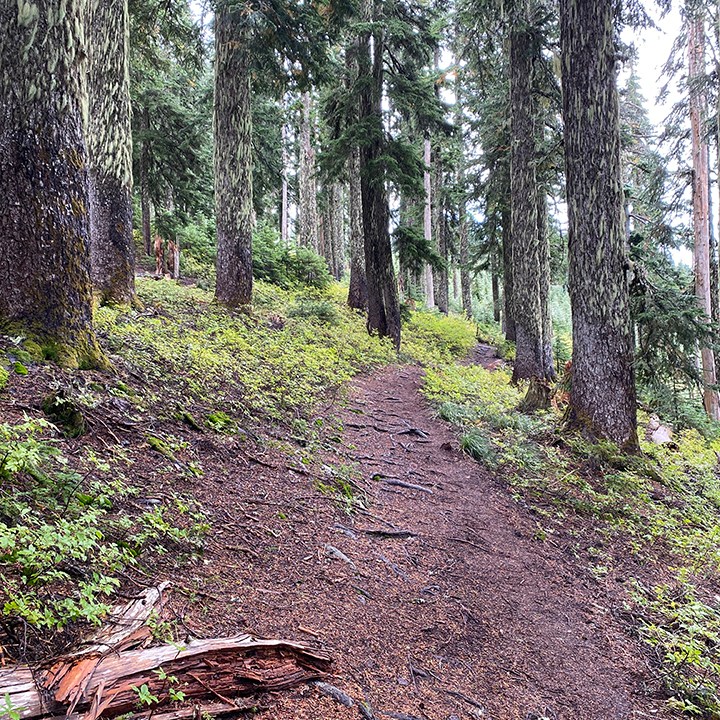
Eventually the trail we were on ends at a wide dirt trail, perpendicular to the trail we were on. There are no signs. We have no idea which way to go. Until we look down. For Christ’s sake, we were so not with it this day. There is a path made out of rocks to indicate where to go, back up the damn mountain. Of course. We headed up and still felt blah. Until we made it to this wide open area on the mountain, with furry trees. It was lovely. I feel like this is the point where our moods turned around.
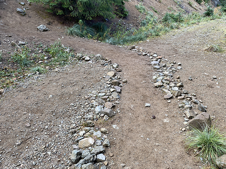
Holy crap, we are so dense for totally missing this at first.
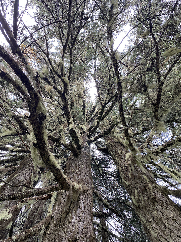
We enjoyed this area, heading up the mountain without realizing it, because it was so freaking nice. And cloudy under the trees, my favorite weather. We stopped to admire several different things along the way. There are mushrooms galore up there. So many different kinds. And the furry trees were so much fun to check out. Even though they all look about the same. At some switchbacks, there are open fields that almost feel magical. Like a unicorn should be grazing there. Sunlight was filtering in through the trees. It was beautiful.
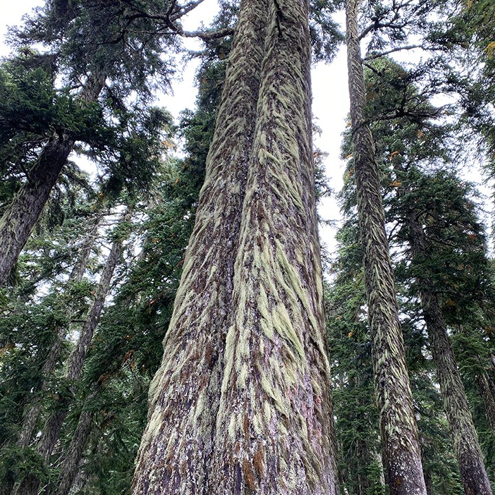
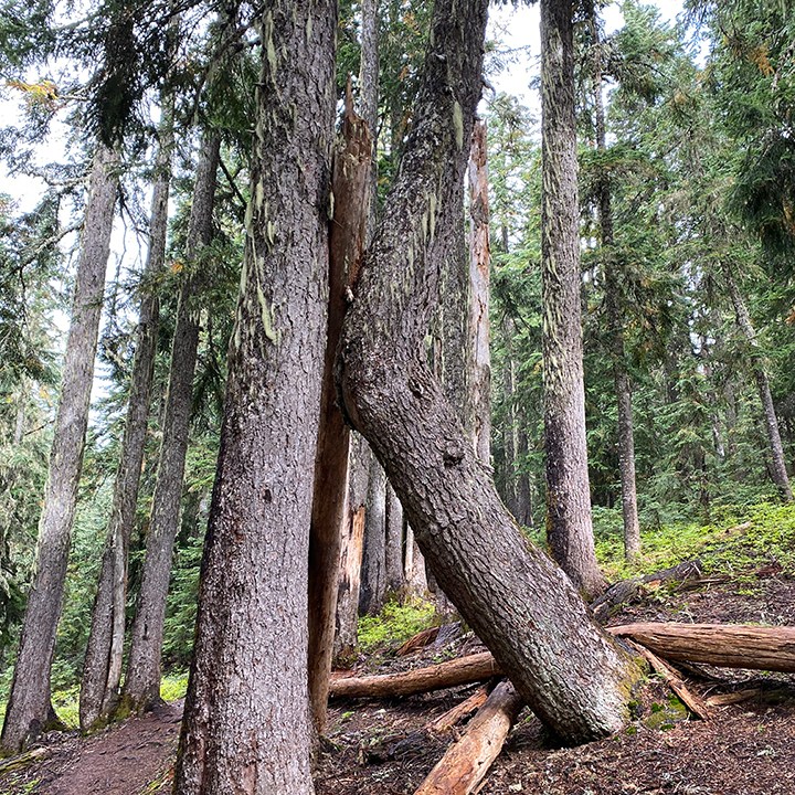
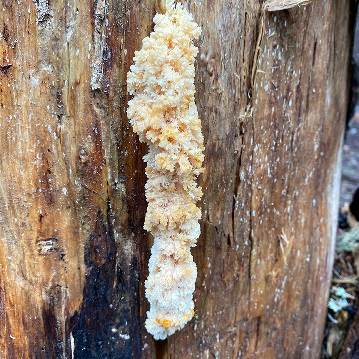
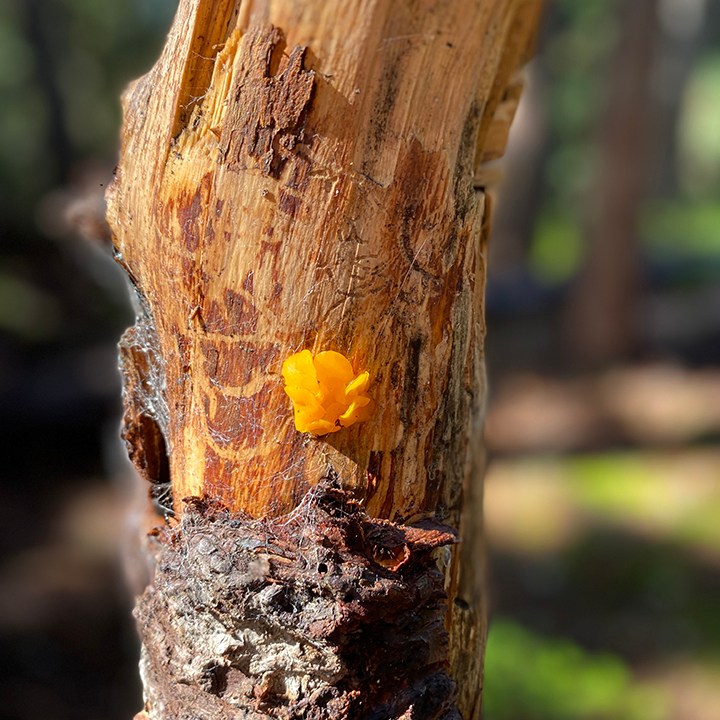
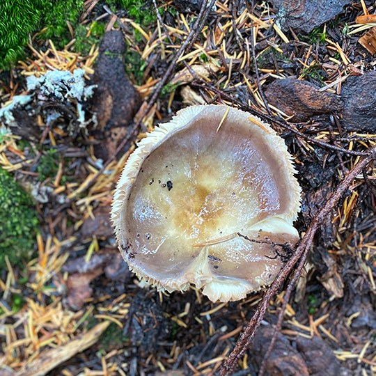
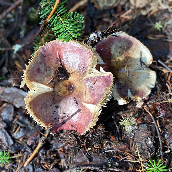
Furry trees and mushrooms (fungi?) galore.
Eventually we made it to a sign. Thankfully, a sign that actually has usable information. Except not for us. There is no Mount Margaret trail information. It has information to get to Margaret Lake or Lake Lilian (again with the X Lake or Lake X naming).
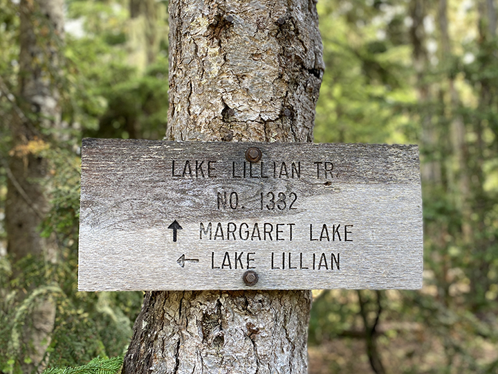
A sign!
There’s no cell service now. Thankfully Karann took a screenshot of the hike directions. It says, “Follow the Lake Lillian Trail for another half mile, gaining and losing only a hundred feet of elevation. At 2.5 miles from the trailhead, once you pass the boulder field, look for an unmarked trail or bootpath on the right. It is easy to miss it.” We hiked on. We passed a boulder field. We saw nothing. What the hell is a bootpath?! We kept going, keeping a lookout for something. Anything. I noticed a super cool stack of rocks, commented on them, and we kept hiking.
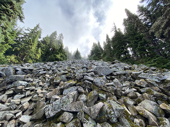
Boulder field.
We passed another boulder field before coming upon a beautiful field lush with wild blueberries. We stopped and enjoyed. And we knew we weren’t going the right way. But we kept going because we saw a trail split ahead, thinking there may be a sign. Nope. The trail split starts to go downhill, so we knew for sure we were wrong. We turned around and passed a group of four guys. Karann asked them if they knew where the bootpath is to Mount Margaret. They said yes and that it’s hard to miss, but there is a STACK OF ROCKS along the main trail signaling where to turn. Jesus. The hiking mishaps never ended on this day. Haha. We backtracked, found the stack of rocks, and headed up the bootpath. The freaking super steep bootpath. Indeed, the directions say, “Follow the steep uphill trail for a quarter mile gaining 250 feet and arrive at the Mount Margaret summit with a steep drop on three sides and views to the heart of the Alpine Lakes Wilderness.”
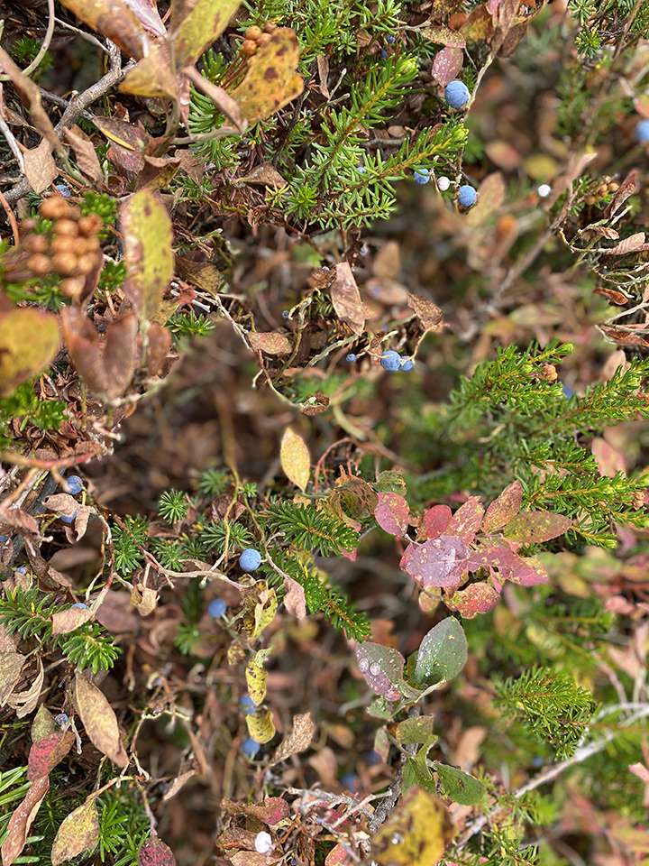
Blueberries galore. The picture doesn’t do this field justice.
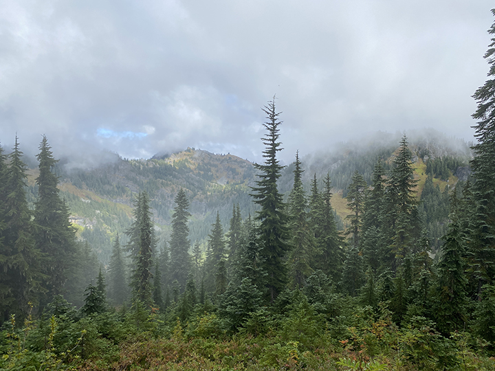
There were pretty views going the wrong way. So there’s that.
For what it’s worth, I read the Mount Margaret hiking reports after I got home. There is a hiking report from that morning by a person who said they made a stack of rocks to signal where to turn off the trail. Which means there isn’t anything usually. And we would have still missed it since the report was written as we were hiking.
We started up the steepness. We made it maybe 30 feet and both decided we were cool with not making it to the summit. Ever since I broke my foot a few years ago, I’m like an old lady when it comes to questionable footings. Like climbing a ladder now, I find myself thinking more about being careful than just going for it like I used to do. And Karann recently had foot surgery, so I think she wasn’t feeling that great about the possibility of damaging her feet from a fall. It was more the coming back down that worried us than the going up. But either way, we agreed to call it a hike.
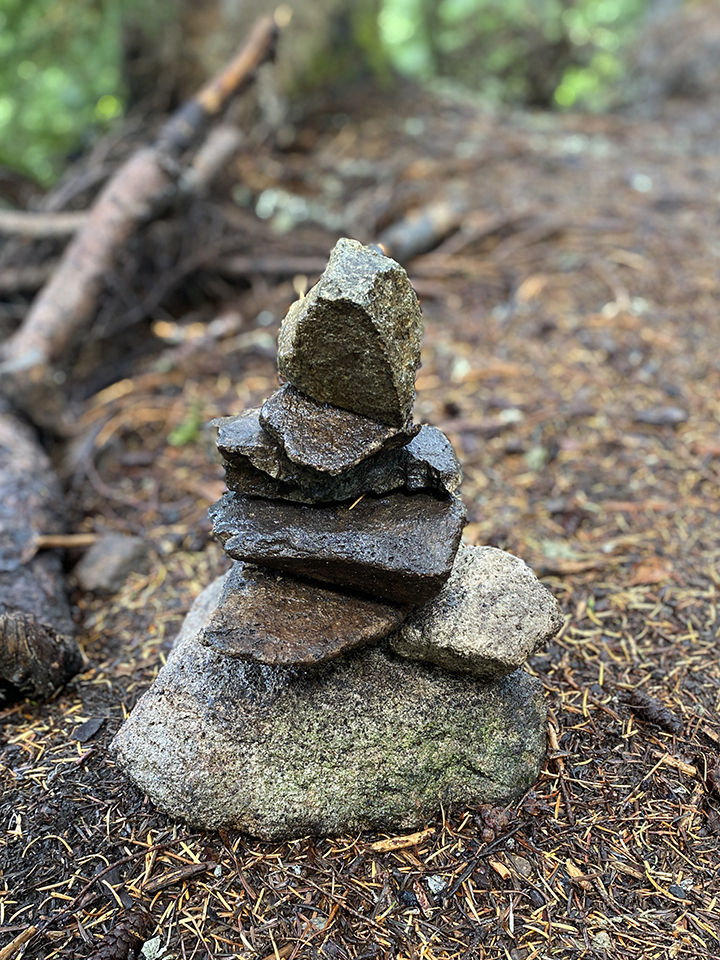
Stack of damn rocks and the steep bootpath.
Back on the main trail, we nosed around a bit on the way down. We passed an area with another bootpath—now that we knew what a bootpath is—and were able to see slight views of Margaret Lake below. We briefly considered hiking down to the lake but since the sign we saw earlier had no mileage, we had no idea what timeframe we’d be looking at heading down and back. We continued back down the trail.
Margaret Lake is down there.
Feeling better physically and happy we hiked—even though we didn’t make it the summit—we continued back down, checking out all the mushrooms and vegetation. We kept on going straight and started to wonder if this was the trail. It was definitely a trail, we thought. But was it the trail? Of course it wasn’t. Because this is the exact kind of day we were having. We thought it was odd we had to hunch down to pass under a downed tree; we didn’t remember this on the way up. We realized it’s not an official trail when what we thought was the trail came to an end, and we were standing in the middle of some brush. We turned around and headed back, wondering where the hell we were. And how did we manage to get off the trail?!
Furry trees along the trail.
We made it back to the main trail and realized when it curved around, we had kept on going straight. It felt natural. And I’d like to think we aren’t the only ones who have made this mistake. Especially since the fake trail felt like a trail, it’s been well travelled. Unless it’s a game trail? Who knows.
Back on the damn trail, we made it to back to the rocky decommissioned trail road. Not before passing two adults hiking with their dog, and the guy saying something like, “This is why we shouldn’t have brought him! He’s holding us back!” To which we pass a slightly overweight, maybe 14-year-old boy, about 20 feet behind the couple. What jerk parents. Who says that, let alone within earshot of the poor kiddo?! I wanted to take the kid home with me. I felt incredibly sad seeing the look on his face. And angry parents like that exist.
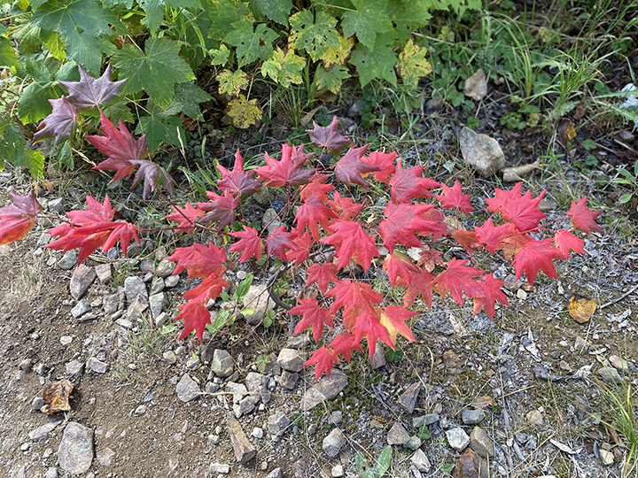
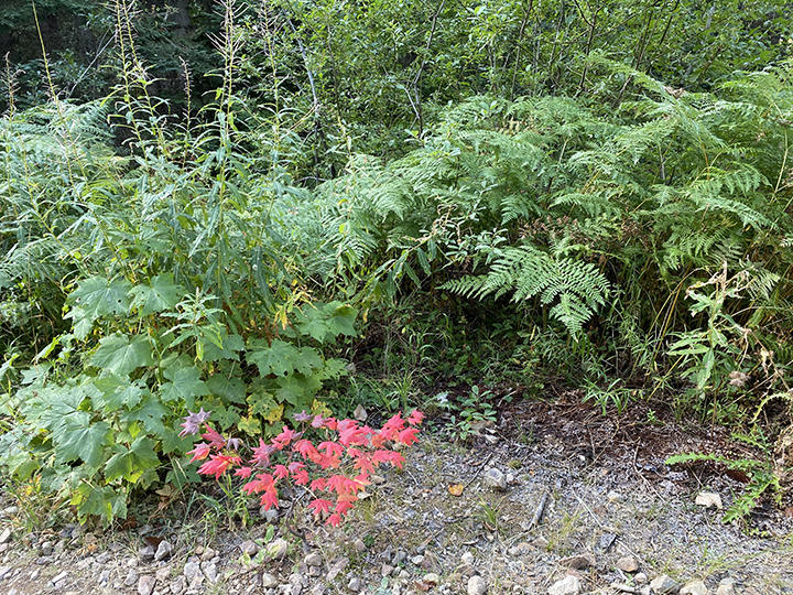
This one plant with red leaves. It stuck out like a sore thumb along the rocky old road.
That damn rocky decommissioned Forest Road. We figured we were almost finished, but nope, it felt like forever getting back to the car. Eventually we made it there, like six hours later. Okay, maybe 20 minutes but it felt like forever. We left, laughing as we drove over potholes galore. What a hike. It’s all good. We get to look back at the cluster of a hike and laugh. And really, it can’t get much worse than this day as we start hiking with the colder weather and coming winter… except I’m sure it can, and will. Haha! Until next time.
